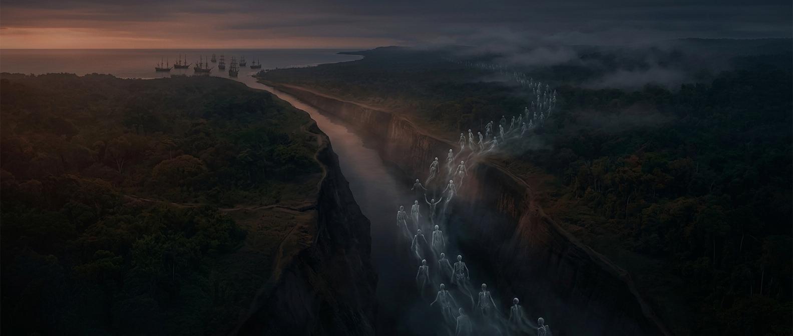
How the Chagres became part of the canal
The Panama Canal did not simply cut a trench across dry land. Its builders had to make the region’s powerful, rain-fed Chagres River work for the route. Dams held back the river and flooded a broad valley, creating Gatun Lake; channels and spillways then directed the water through the canal system. In that sense, canal construction redirected the river’s course: a river that once ran freely toward the Caribbean became part of a carefully controlled passage across the isthmus.
The lake was not just a reservoir. It formed much of the canal’s central stretch, sparing engineers from having to excavate a sea-level trench all the way across Panama. At either end, locks—water-filled chambers that raise or lower ships—lift vessels to the lake and bring them back down to sea level. The canal is therefore a route made from both natural river water and large-scale engineering.
A shortcut built through a dangerous landscape
Before the canal, many ships traveling between the Atlantic and Pacific had to round Cape Horn at the tip of South America. The Panama route shortened that journey by roughly 8,000 miles, but the shortcut demanded immense excavation, dam-building, and control of a river prone to flooding. Workers faced unstable slopes and mudslides as well as mosquito-borne yellow fever and malaria. French and then American efforts cost thousands of laborers their lives.
The river’s redirection solved one engineering problem while creating a new system that had to be managed: water levels in the lake and locks govern when and how ships can cross. A passage that looks like a narrow cut on a map is, in practice, a chain of dams, channels, and water-filled chambers—built around a river made to serve a global shipping route.