A landscape measured in missing rock
The Grand Canyon is not a neat bowl with walls you could trace around a rim. Its vast volume is the space cut into the Colorado Plateau: a branching maze of cliffs, side canyons, and inner gorge. Any estimate therefore depends on where the canyon’s edges are drawn and what surface is used as the imagined landscape before erosion.
That space took shape as the Colorado River and its tributaries wore down the plateau, carrying sediment away and exposing layers of rock. The river did not simply carve one deep trench; smaller streams cut into the sides, making the canyon system wider and more intricate over time.
Why the human comparison feels so strange
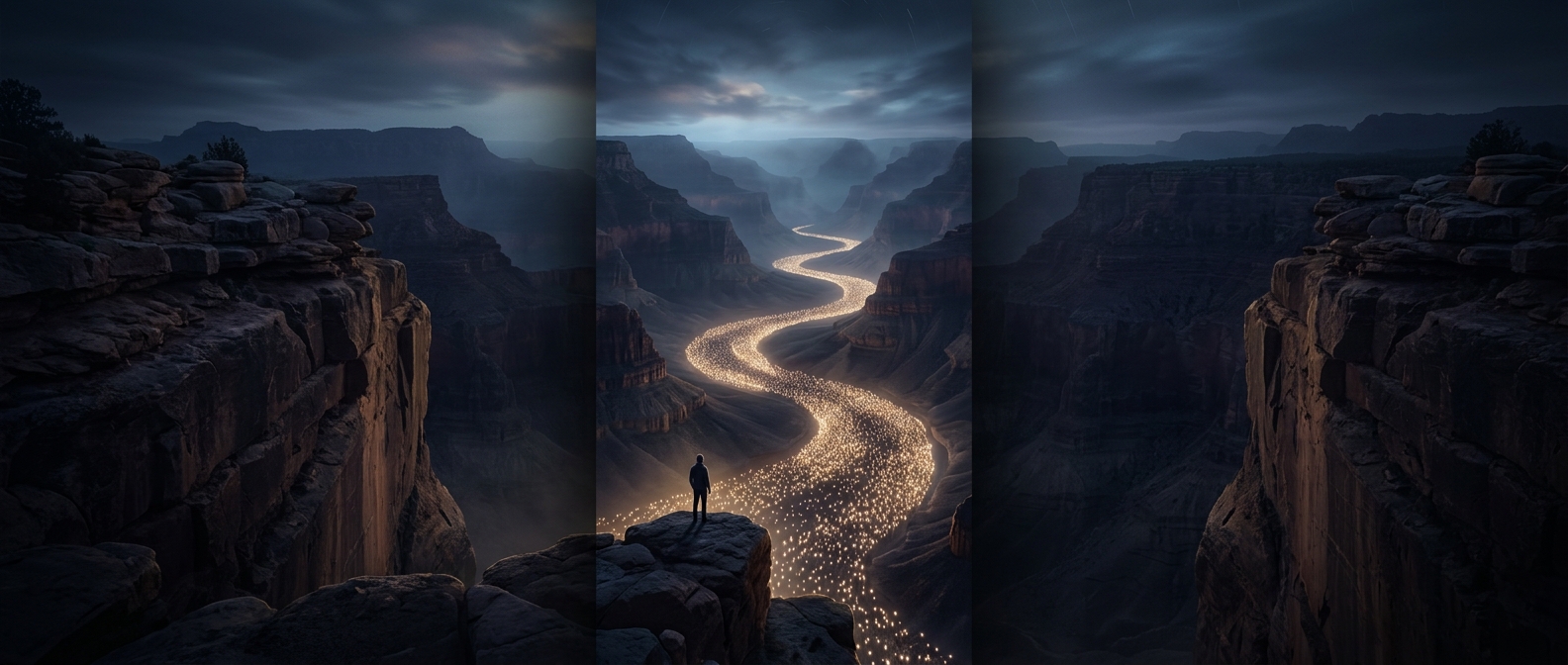
A person occupies only a small amount of space, while a canyon’s volume accumulates across an enormous length, width, and depth. The comparison turns an abstract geological measurement into something bodily: even billions of people, imagined as a solid mass rather than a crowd with gaps between them, remain far smaller than the carved landscape.
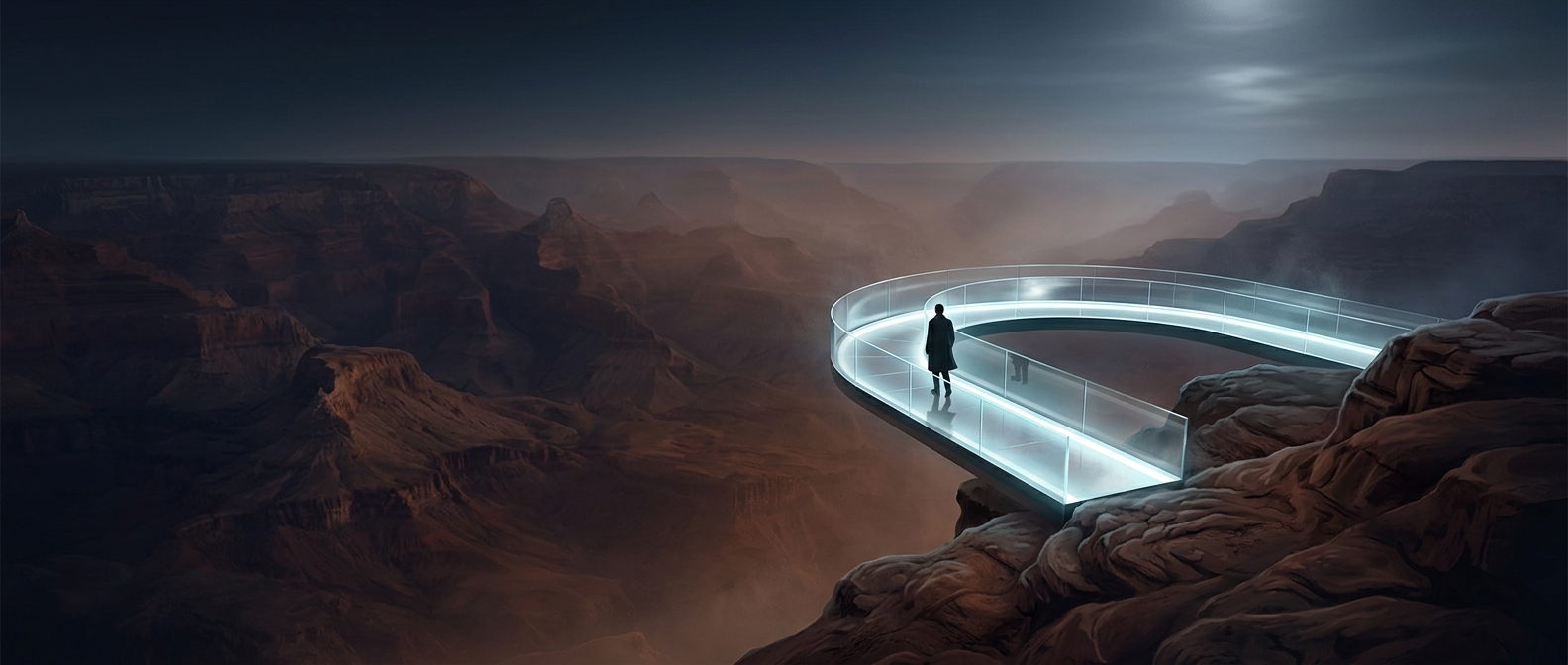
It is also a reminder that the canyon’s scale is easy to misread from a viewpoint. A vista may show one wall and a distant river, but the full volume includes countless folds and tributary canyons hidden beyond the frame. The spectacle is not just a deep gap—it is a whole eroded landscape.