How the canyon’s rock becomes a cave
Many Grand Canyon caves formed in limestone layers, especially the Redwall Limestone. Rain and groundwater absorb a little carbon dioxide from soil and air, making the water mildly acidic. As it seeps through cracks, it slowly dissolves limestone and enlarges the openings into passages and chambers.
The Colorado River helped shape the caves’ setting, too. As it cut deeper into the plateau, it lowered the surrounding groundwater level. Some passages that water once flowed through were left high and dry in the canyon walls—potential caves today, but not always obvious entrances.
Why so many remain out of sight
A cave can be hard to spot even in exposed canyon country. Its opening may be small, tucked under a ledge, or concealed by the folds of a cliff. Reaching it can mean crossing steep, rugged terrain, and a promising crack does not reveal how far a passage continues—or whether it ends almost immediately.
Finding and documenting caves therefore takes more than scanning the landscape. Explorers must locate openings, reach them safely, and map what lies inside. The gap between estimated caves and documented ones reflects that practical challenge, not necessarily a landscape filled with giant, connected caverns.
A discovery is not just a new dot on a map
Caves can shelter wildlife and preserve delicate mineral formations or traces of past human activity. Their interiors may be damaged by a single careless visit, so discovery brings a reason to proceed cautiously as well as a chance to learn more.
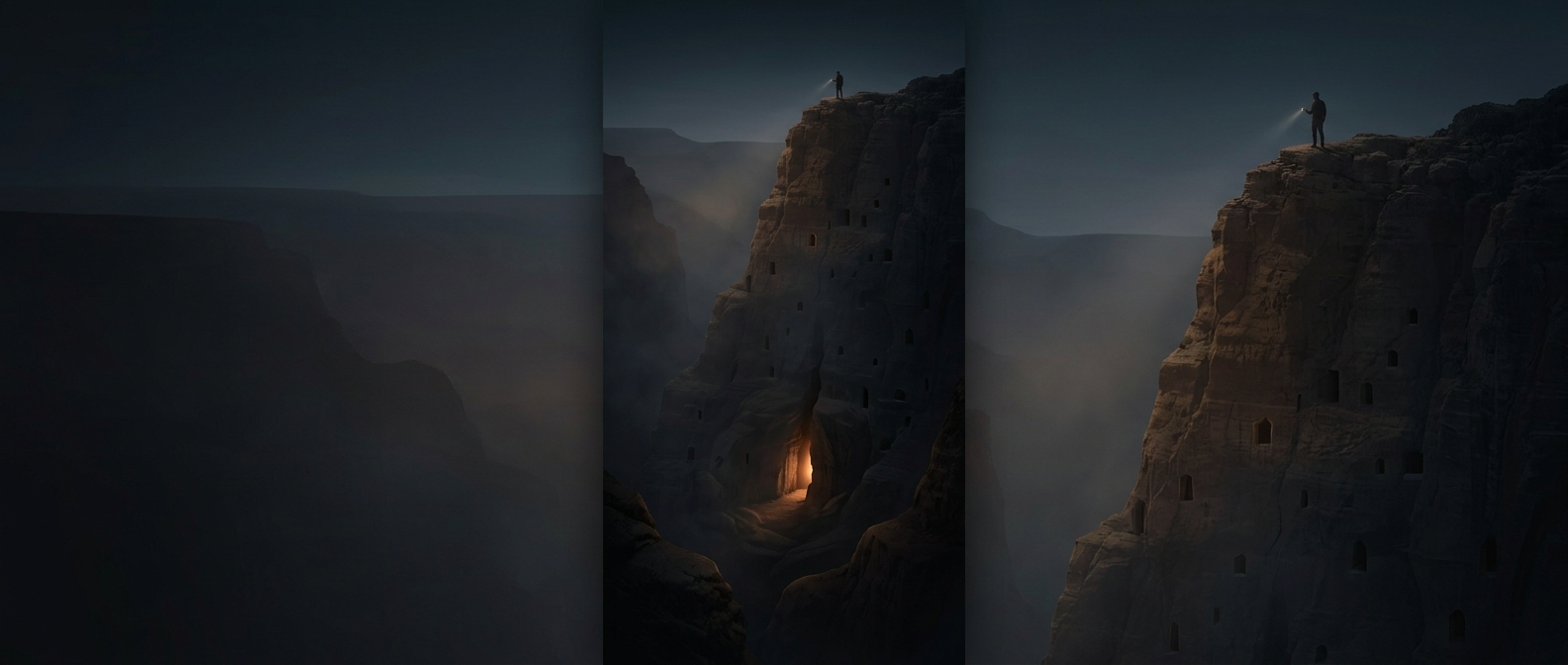
In the Grand Canyon, a dark notch in a cliff might be only a shallow recess—or the entrance to a passage that has gone unrecorded. The landscape’s scale makes that uncertainty tangible: a cave can remain hidden not because it is far away, but because the canyon makes even nearby places difficult to see and reach.