Why Canada Has So Many Lakes
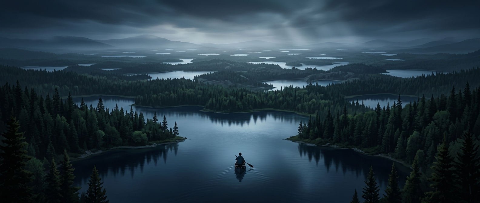
Much of Canada’s lake-filled landscape was shaped by ice. During the last ice age, thick glaciers scraped and fractured the ground, deepening hollows and leaving behind ridges of sediment. When the ice melted, water collected in those low spots. On the hard, uneven rock of the Canadian Shield, countless small depressions became lakes, often crowded together across the same stretch of wilderness.
That history helps explain why the lakes are not concentrated in one famous region. They spread across a huge range of northern forests, rocky uplands, and remote interior terrain. Some are large enough to anchor towns and travel routes; many are modest pools among trees and wetlands.
A Lake Can Be Mapped Without a Name
A lake’s lack of a familiar name does not make it invisible. Maps and geographic databases can identify water by its location and shape even when no official name has been assigned. Naming tends to matter most when people need a place to navigate to, describe, manage, or distinguish from nearby places.
In sparsely settled areas, a small lake may have little reason to acquire a widely used name. It can remain a recognizable feature on a map while being known mainly by coordinates—or not referred to at all. The landscape’s sheer number of water bodies makes naming each one a different task from simply documenting where it is.
The View From the Ground
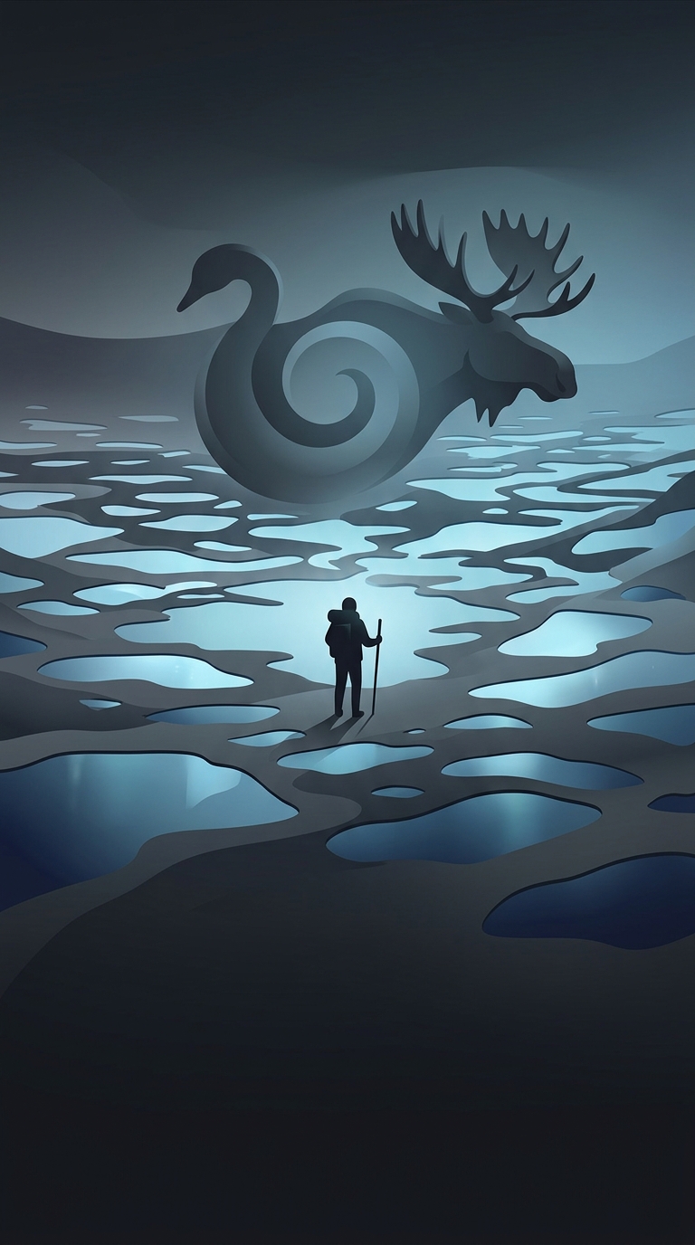
For a traveler, the result is a landscape where water repeatedly appears between forest, rock, and sky. A lake may be a destination, a route marker, or simply one of many blue openings along a long journey. Canada’s abundance of lakes is not just a collection of famous shorelines; it is the visible trace of ancient ice, spread across a country where many waters remain part of the map without becoming part of everyday conversation.