How glaciers left so many places for water to settle
A glacier does more than scrape a landscape smooth. As thick ice moves, rocks trapped beneath it grind into the ground, while the glacier’s weight can deepen hollows in softer terrain. When the ice retreats, meltwater fills those low spots. In other places, ridges of rock and debris left behind by the glacier act like natural dams, holding water in place.
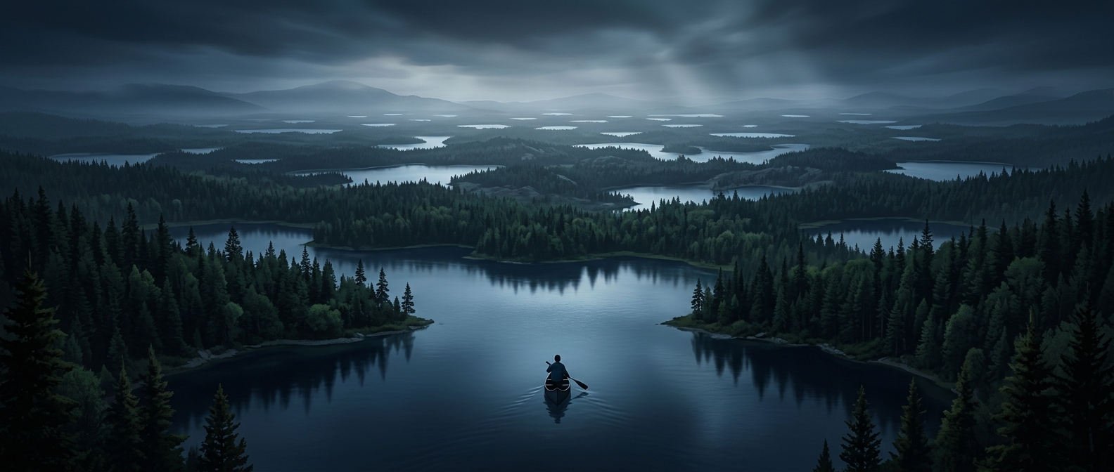
Across much of Canada, these effects overlap with the hard, uneven terrain of the Canadian Shield. Its exposed bedrock, shallow soils and irregular hollows create a landscape where water often collects instead of draining quickly into a single river system. The result is a dense patchwork of lakes, from broad expanses to small basins tucked among forests and rock.
What that means on the ground
In many regions, a lake is not a distant destination but one feature in a chain of waterways. Water may pass from a small lake into a stream, through another lake, and eventually toward a larger river or the coast. For travelers, that pattern shapes routes and views: roads and trails often bend around shorelines, while boats can connect places that look separated on a map.
The count also depends on what qualifies as a lake; a landscape dotted with countless small basins can add up differently from one dominated by a few enormous bodies of water. But the underlying story is visible at almost any scale: retreating ice left the terrain full of hollows, and Canada’s waterways still occupy them.