Why Canada’s Coastline Has No Single Length
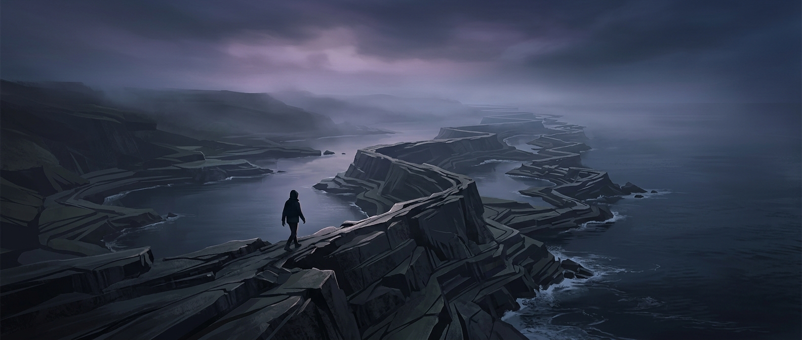
A coastline looks like a line on a map, but it is really a boundary full of curves, inlets, islands, and narrow passages. The length you calculate depends on how much detail your measuring method can see. Trace only the broad outline, and small bays disappear. Zoom in, and those bays reveal more bends to follow.
This is an example of the coastline paradox: for a complicated natural boundary, the measured length grows as the measuring scale gets smaller. It does not mean the shore is changing during the calculation. It means each measurement leaves out features too small for its chosen scale.
The Ruler Changes the Result
Imagine laying a ruler along a rocky shore. A long ruler bridges over coves and jagged points, producing a relatively short path. Replace it with shorter rulers, and they can fit into more of each indentation. The path now follows the shore more closely—and totals a greater distance.
Keep shortening the ruler and the same pattern can continue, because the shore contains detail at many scales. Real measurements eventually meet practical limits: maps have finite resolution, and coastlines have features too small or uncertain to represent. So a reported length is not just a property of the land; it also reflects the map, survey method, and level of detail used.
What “Thirty Years to Walk” Leaves Out
A walking-time estimate adds another layer of assumptions. A person cannot follow every shoreline continuously: cliffs, wetlands, private land, tides, and islands can make sections difficult or impossible to traverse. The estimate is therefore an illustration of scale, not a literal itinerary with one definitive route.
The striking point is that there is no uniquely correct coastline length independent of how it is measured. Two maps can both be useful and give different totals, because one smooths away bends that the other carefully traces.