Why the equator takes this route
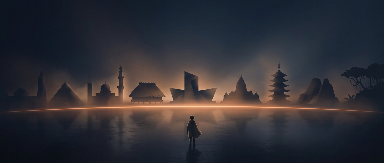
The equator is not a mark on Earth’s surface; it is an imaginary circle halfway between the North and South Poles. Geographers define it as 0° latitude, the line formed where that halfway plane would slice through the globe. Because Earth is round, tracing it means crossing whatever lies along the same circle: ocean, mountain ranges, forests, and islands.
A line through very different landscapes
In South America, the route reaches the Andes, where the land rises sharply even though the latitude stays at zero. It then crosses lowland rainforest, where warm temperatures and abundant moisture support dense vegetation. The equator does not cause every place along it to have the same weather: elevation, rainfall, and nearby ocean currents all shape local conditions. A mountain town on the line can feel very different from a humid forest below it.
In Africa, the circle cuts across the Congo Basin and neighboring regions. Elsewhere, it meets islands and coastal terrain before passing back over open water. The line’s latitude remains constant, but the ground beneath it changes dramatically.
Why the land crossings are brief
Earth’s surface is mostly ocean, so a circle around the planet spends far more of its length at sea than on land. The equator’s crossings through countries are therefore short sections of a much longer global loop. On a map, those sections can look like a continuous path across continents; on the ground, they are just local intersections with an invisible reference line—one that can run from rainforest floor to high Andean slopes without shifting a degree north or south.