A road cut into the Karakoram
The Karakoram Highway crosses the mountains between northern Pakistan and China’s Xinjiang region, climbing to Khunjerab Pass near 15,000 feet. At that height, the air holds less oxygen, so physical work becomes harder just as the route enters a landscape of steep slopes, glaciers, and fast-moving streams.
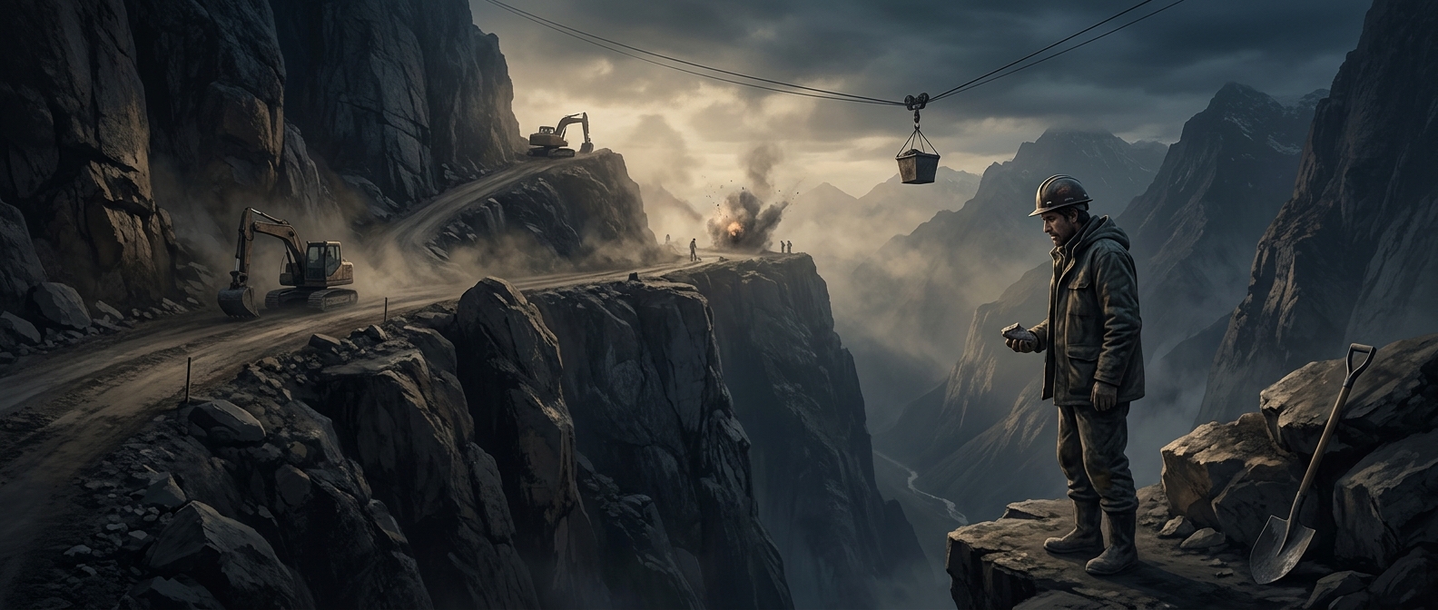
The challenge was not simply to make a road climb. The builders had to find a line through rock that could crumble under excavation and slopes that could shift or send rock and ice onto the roadway. In places, blasting opened narrow ledges above deep valleys; the road’s alignment had to follow the terrain rather than impose a gentler, safer course that the mountains would not allow.
A route with continuing costs
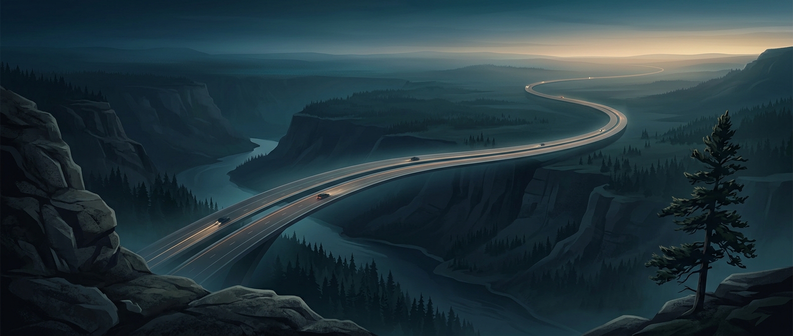
The highway turned a remote mountain region into an overland connection between two countries. For communities along the route, it brought more direct access to markets and services; for travelers, it made a journey across the high range possible by road. But the same geography that made the connection valuable also makes it vulnerable: landslides, floods, and winter conditions can disrupt travel and demand repeated repairs.
That is the lasting tradeoff of the route. It does not conquer the mountains so much as negotiate a passage through them—and every exposed bend remains subject to the forces that shaped the landscape.