A country turned into a playable map
The Danish project made geography something children could move through rather than only look at. In Minecraft, terrain is assembled from blocks, so a digital landscape can represent coastlines, hills, roads, and built-up areas as places players can enter and inspect. That turns a map into a kind of model: students can travel across it, compare regions, and notice how geographic features fit together.
But a model made from Minecraft’s ordinary building materials also inherits the game’s rules. Players do not just view the world; they can interact with it, and familiar game mechanics can produce results the map’s creators did not intend.
A restriction with a loophole
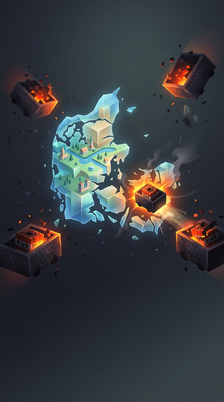
Officials disabled ordinary dynamite—TNT blocks—to limit destructive play. The workaround exploited a different object: a minecart carrying TNT. Minecraft treats that cart as a separate item from a TNT block, and it can still explode under the right in-game conditions. Disabling one route to an explosion therefore did not remove every route.
That distinction is small in the game’s inventory but consequential in a shared world. A restriction aimed at a particular object can be bypassed when the same effect is available through another object or interaction. The episode was less a failure of geography than a reminder that a public Minecraft map is also a playable system, with all the permissions and edge cases that entails.
The cost of making a map interactive
Interactivity gave the Danish landscape its educational value, but it also gave visitors tools to alter it. A static map can be damaged only as an image; a Minecraft world can be changed from inside, using the same mechanics that make exploration engaging. The TNT-cart workaround made that tradeoff visible: in a game world, even a carefully designed national map remains subject to the game’s rules.