How Minecraft turns a landscape into a learning tool
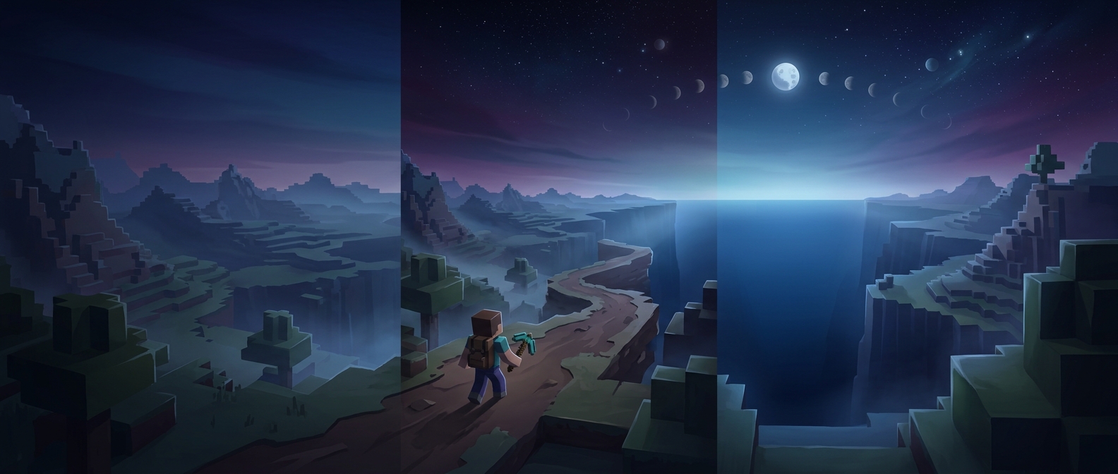
A Minecraft world is built from blocks, so terrain becomes something players can inspect and alter rather than merely look at. A hill has a slope, a river has a course, and a settlement occupies space in relation to both. When educators recreate real terrain in the game, students can move through a simplified version of a place and see how its features connect.
That change of viewpoint can make geography more concrete. A map asks readers to translate symbols and contours into an imagined landscape; a virtual model lets them walk from one feature to another. The model is still a representation, not the place itself: its scale, detail, and accuracy depend on how it was made. But even a simplified landscape can prompt useful questions about elevation, distance, routes, and where people might build.
Learning by building—and managing limits
The same building process can exercise spatial reasoning. To make a structure fit, players estimate dimensions, align walls, and adjust designs when they collide with terrain. The game also makes basic programming ideas approachable through tools such as command blocks, which can trigger actions when configured. Setting up those actions involves a simple version of a coding habit: specify a rule, test what happens, and revise it when the result is wrong.
Resource gathering adds another kind of decision-making. Players have limited time and materials, so choosing what to collect or build first has consequences. That is a small, legible model of planning under constraints—not a substitute for real-world economics, but a way to practice weighing needs and options.
The educational value comes less from any single feature than from the loop it creates: players make a plan, see its effects in the world, and can change it immediately. A virtual mountain or city becomes more than scenery when learners can use it to test how space, rules, and resources fit together.