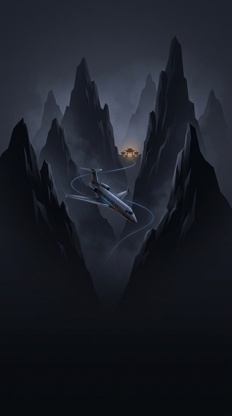
A runway fitted into a mountain valley
Paro’s airport occupies a narrow stretch of the Paro Chhu valley, where steep slopes leave little room to extend a runway or approach from any direction. The surrounding mountains shape the flight well before the aircraft reaches the airport: pilots must follow a route that brings the plane through the valley and into alignment with the runway, rather than relying on a long, straight approach over open ground.
Why the view matters
In a conventional instrument approach, cockpit instruments and navigation systems can guide an aircraft toward the runway even when pilots cannot see it. At Paro, the terrain makes that kind of straight-in guidance difficult. The approach instead depends on pilots being able to see and judge the landscape, while following procedures designed for the valley’s contours. Visibility and weather therefore matter directly: if the required visual conditions are not present, the approach may not be possible.
That is why operating there requires specialized training and authorization. It is not simply a matter of a pilot being skilled at ordinary landings; the pilot must be familiar with the specific route, terrain, and visual cues. The winding approach can feel dramatic to passengers, but its turns are part of positioning the aircraft safely within a confined corridor—not a stunt.
The landscape shapes the journey
The airport’s location is both a practical compromise and a striking introduction to Bhutan. A valley provides the limited flatter ground needed for an airport, while the mountains that make the setting spectacular also constrain flight operations. For travelers, the view from the approach offers an immediate sense of how geography shapes movement in this part of the Himalayas: reaching Paro by air means following the valley rather than simply flying straight toward the destination.