Science
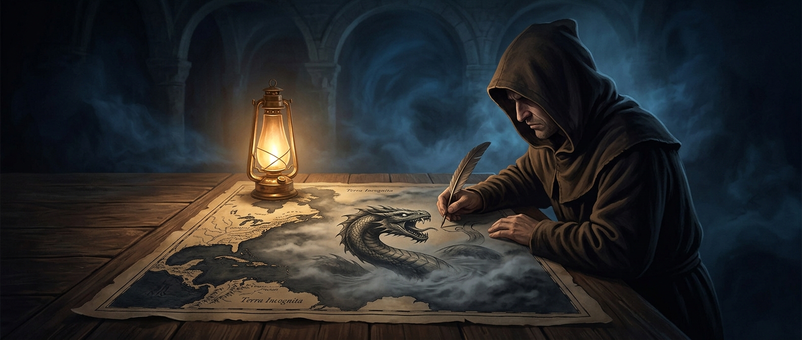
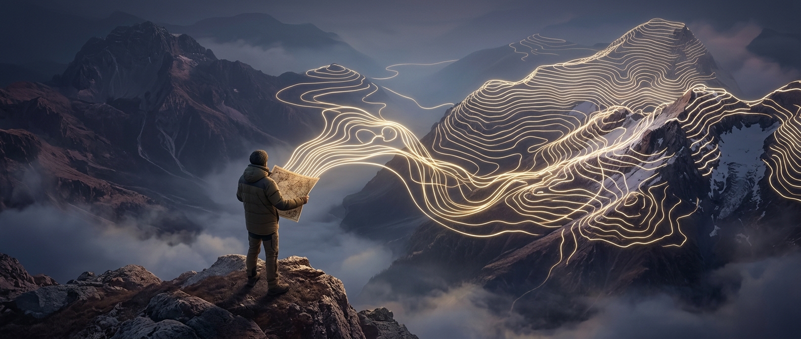
The first maps were built on hearsay
HERE’S THE INTERESTING PART
Early attempts to draw the globe were basically games of telephone. Cartographers would interview sailors who had spoken to other sailors, resulting in wild guesses and horribly warped coastlines. It was the geographical equivalent of trusting a guy who knows a guy.

One discovery leads to another.
Keep exploring facts in this topic.
Science →