Science
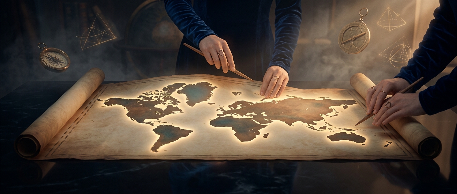
Gall-Peters projections maintain area while stretching shape
HERE’S THE INTERESTING PART
In a desperate attempt to fix the size distortion of traditional maps, this alternative projection accurately represents the true scale of continents. The tragic downside is that it violently stretches countries near the equator, making the entire planet look like it is melting downward. You either get fake sizes or fake shapes, because flattening a sphere is inherently impossible.
One discovery leads to another.
Keep exploring facts in this topic.
Science →