The open sea left room for imagination
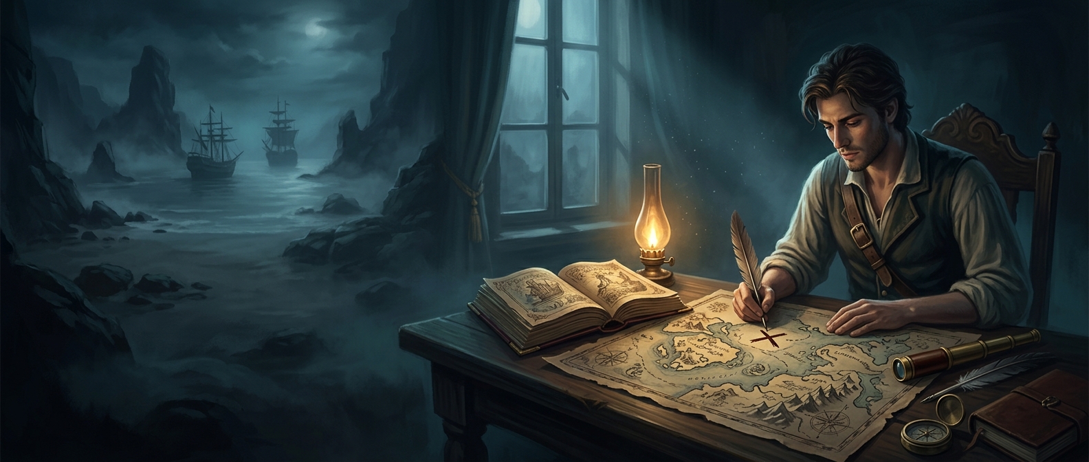
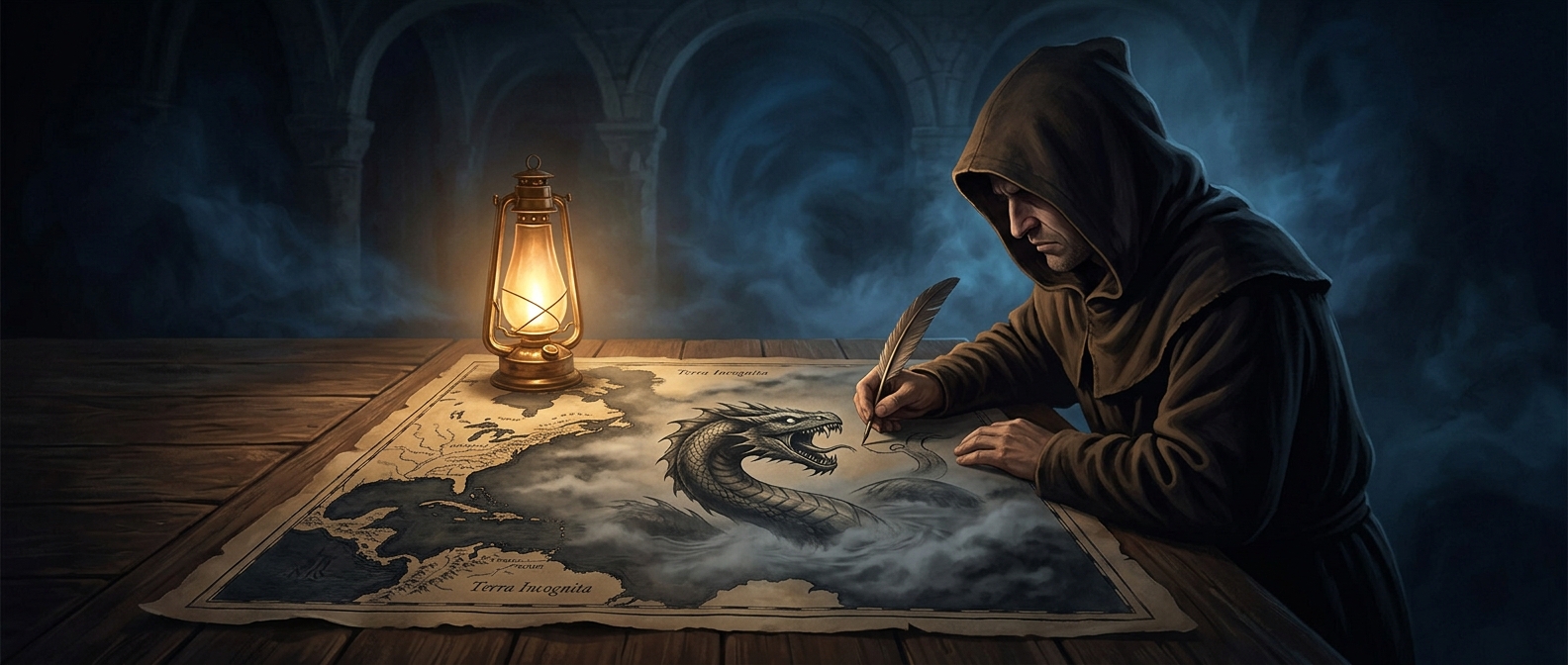
A map could show a coastline with useful precision while offering little reliable detail about the water beyond it. Sailors’ routes and reports might establish where land lay, but distant seas were harder to survey and describe. When a mapmaker had no dependable information to put in a broad stretch of ocean, the page could look conspicuously empty.
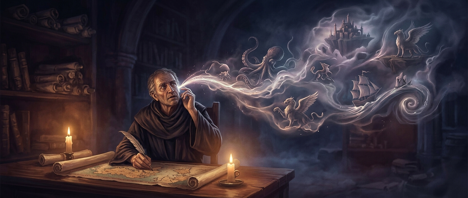
A sea monster turned that blank into an image. It gave the eye something to follow and made the unknown feel legible—not by measuring it, but by illustrating the limits of what was known. The creature could also make the map visually fuller and more engaging for the person who commissioned, owned, or viewed it.
A picture, not a navigational warning
The monsters were not a consistent code meaning that a particular spot contained a real beast or even a known hazard. Their presence could reflect inherited imagery, imaginative decoration, or the mapmaker’s uncertainty; the drawing alone does not tell us which. A sailor could not treat the illustration as a substitute for route knowledge or practical directions.
That distinction matters because old maps mixed different kinds of information on the same sheet: observed coastlines, reported places, and pictures that gave form to what remained obscure. The monster often marked a gap in knowledge more than a danger in the water. It made uncertainty visible—and memorable—where an empty expanse would have said very little at all.