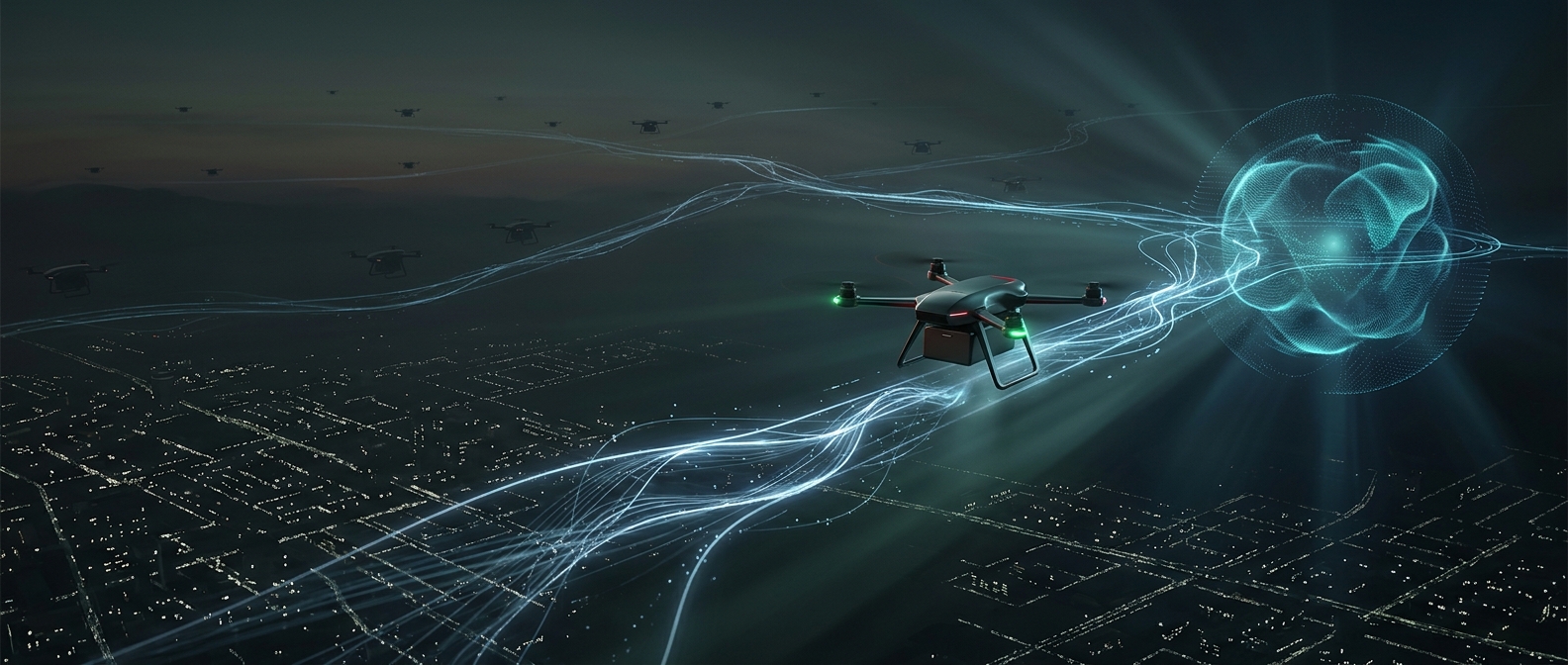
A drone route is planned in three dimensions
A route on a map can look clear while the air above it is not. Before a commercial flight, an operator needs to consider not only where the drone will travel, but its altitude, timing, launch and landing points, and nearby airspace. Airports, heliports, and established flight paths can make an otherwise ordinary job—such as inspecting a roof—an aviation-coordination problem.
Airspace checks help identify whether a planned operation falls in a controlled area, where aircraft movements are managed by aviation authorities or air traffic control. If it does, the operator may need specific authorization before flying. The exact process depends on the location and operation; a route plan is not a universal permission slip.
Why small aircraft need formal coordination
A drone is hard for pilots to see from a cockpit, and its small size does not make a collision harmless. A crewed aircraft may be approaching an airport, responding to an emergency, or flying low for a task of its own. Keeping drone activity within known limits gives other users of the airspace a better chance of avoiding a conflict.
Planning also turns a vague intention into boundaries that can be checked: where the aircraft may go, how high it may fly, and when the operation is supposed to happen. If conditions or the job change, the original plan may no longer fit, so the operator has to reassess rather than assume the authorization covers any flight nearby.
Paperwork shapes the job on the ground
Airspace constraints can affect the work itself. A survey crew may need to shift its launch site, change the route, choose another time, or postpone the flight while seeking approval. Those steps add preparation, but they also make the drone’s presence more predictable in airspace shared with aircraft that cannot simply stop or move aside.
The practical point is that a commercial drone flight begins before its propellers turn: its route has to be legible to the system managing the sky around it.