How a Drone Saves Its Way Home
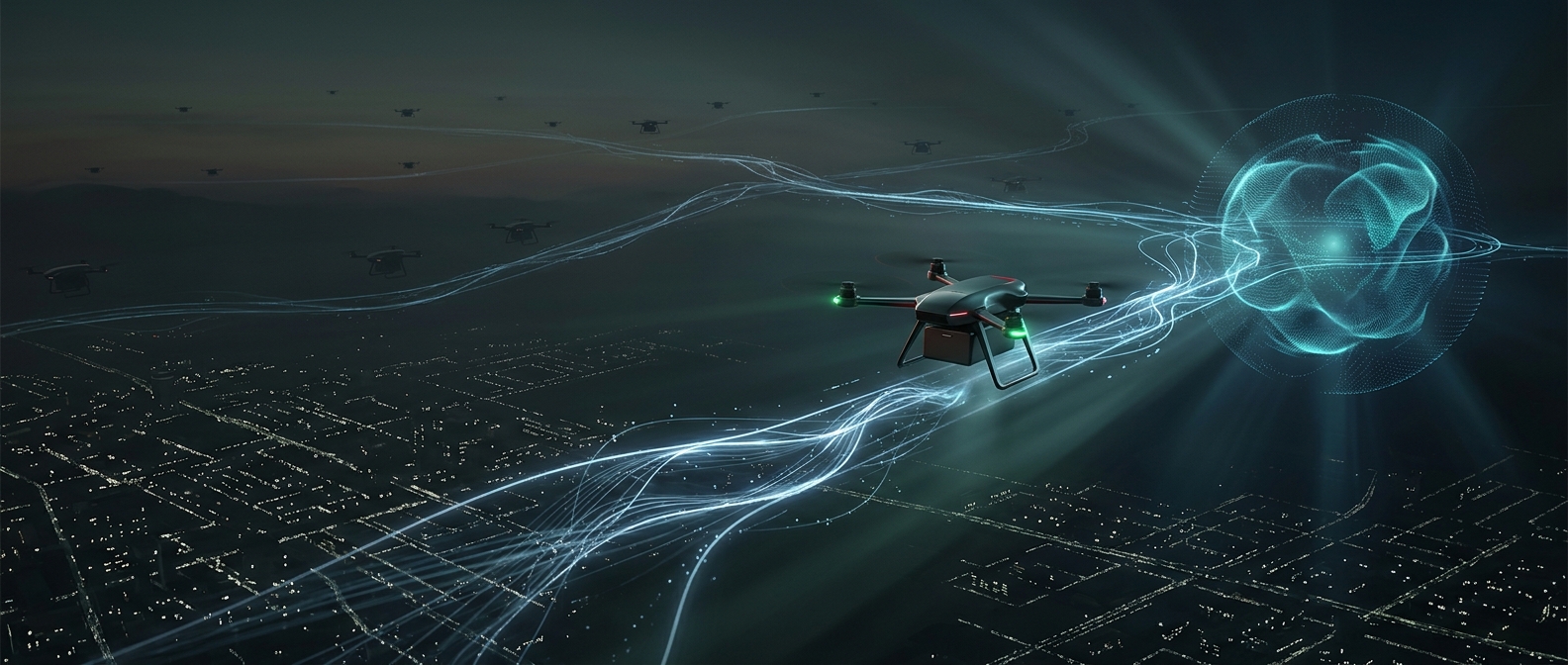
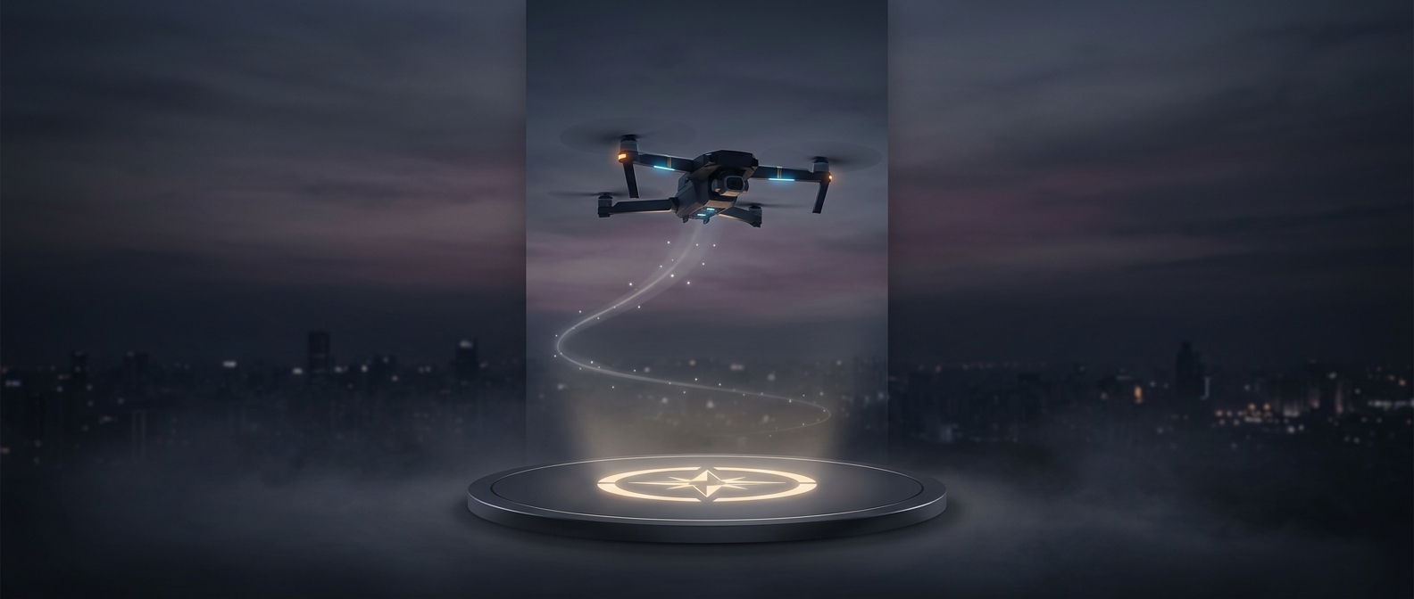
Before takeoff, a consumer drone can use satellite navigation to estimate its position and store that location as its “home point.” Satellite signals do not give the aircraft a picture of the ground; they help it calculate where it is by comparing timing signals from satellites. Once the home point is saved, the drone can use it as a destination if the pilot selects return-to-home or a safety feature triggers the return.
That turns a momentary launch spot into a coordinate the aircraft can navigate toward later. The pilot does not have to steer every turn back, and the drone can still find its way toward home even when it has flown beyond the pilot’s immediate view.
Returning Is More Than Following a Pin
A return flight is usually a programmed sequence, not a simple straight-line plunge. The drone may climb to a set return altitude before heading home, helping it clear obstacles that could be in its path. As it travels, it updates its position from navigation signals and adjusts its flight to approach the saved point.
The stored coordinate is not a guarantee of a pinpoint touchdown. Satellite-position estimates have limits, and buildings, trees, signal conditions, or movement of the launch surface can affect where the aircraft ends up. Some drones use other sensors or landing procedures to help with the final approach, but the core idea is the same: navigate back to the recorded location, then descend.
That distinction matters most when choosing a launch site. A clear patch of ground gives the drone a useful home address—and gives its automated return a safer place to arrive.