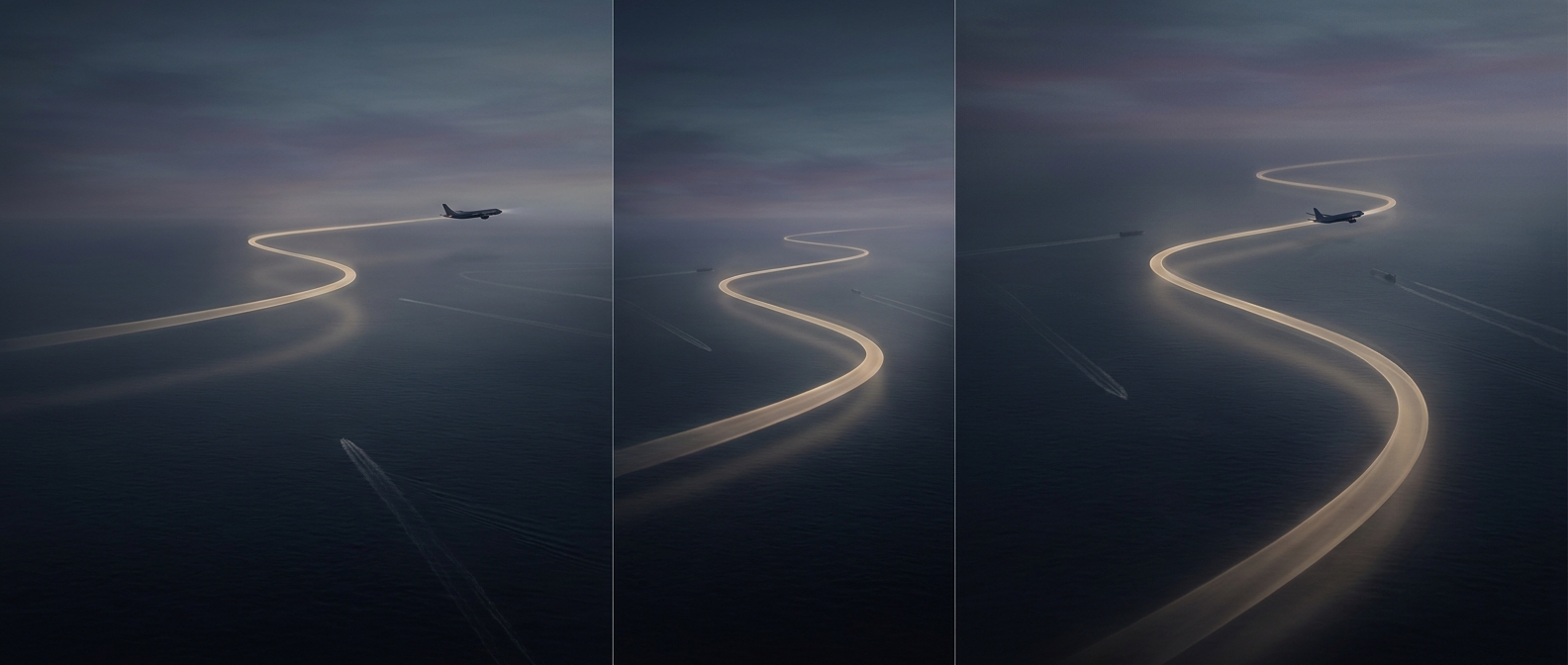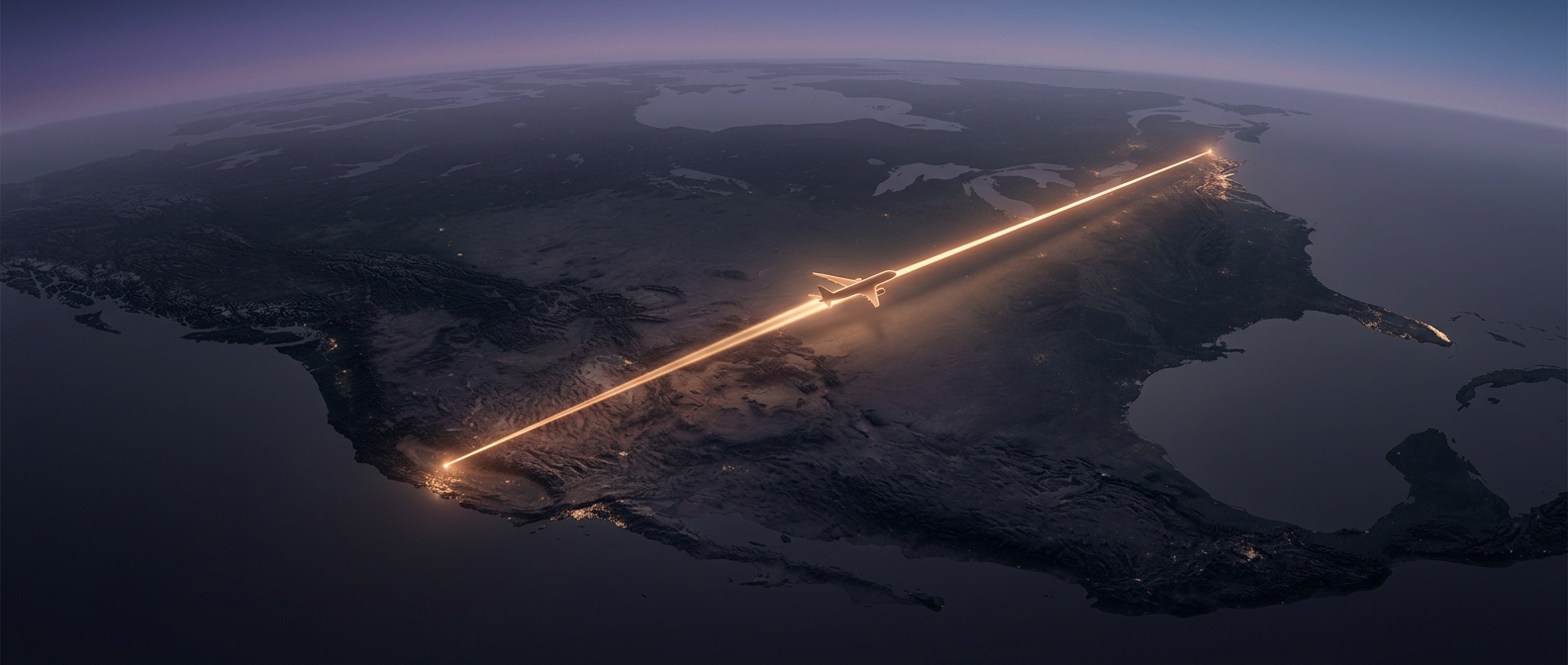
How cruising altitudes sort traffic by direction
Air-traffic systems often assign aircraft traveling in different directions to different cruising levels. The pattern is based on a plane’s magnetic course—its direction of travel measured against magnetic north—not simply whether it is headed toward a particular city. In the United States, for example, standard IFR cruising altitudes generally alternate between odd- and even-thousand-foot levels as course changes from eastbound to westbound. Other regions may use different conventions.
The scheme gives controllers a predictable starting point: aircraft on crossing or opposing routes are less likely to be assigned the same level. It is not a rigid rule that pilots follow without oversight. Controllers can assign another altitude to manage traffic, weather, terrain, or the layout of a particular route, and pilots must fly the altitude they are cleared to use.
Why the separation matters
Two aircraft can travel hundreds of miles along the same corridor without ever needing to pass side by side. Keeping them at different heights creates vertical separation, so one can cross above the other rather than requiring a sharp turn or a last-minute change of course. That is especially useful when many flights converge near busy airports, where controllers are arranging arrivals and departures as well as long-distance traffic.
The altitude pattern is only one layer of protection. Controllers track aircraft and issue instructions to maintain required spacing; pilots also receive traffic information and use onboard collision-avoidance equipment. The layers make traffic more predictable, not collision-proof. A routine altitude assignment can quietly prevent two distant streams from becoming a conflict long before either aircraft is close enough to see the other.