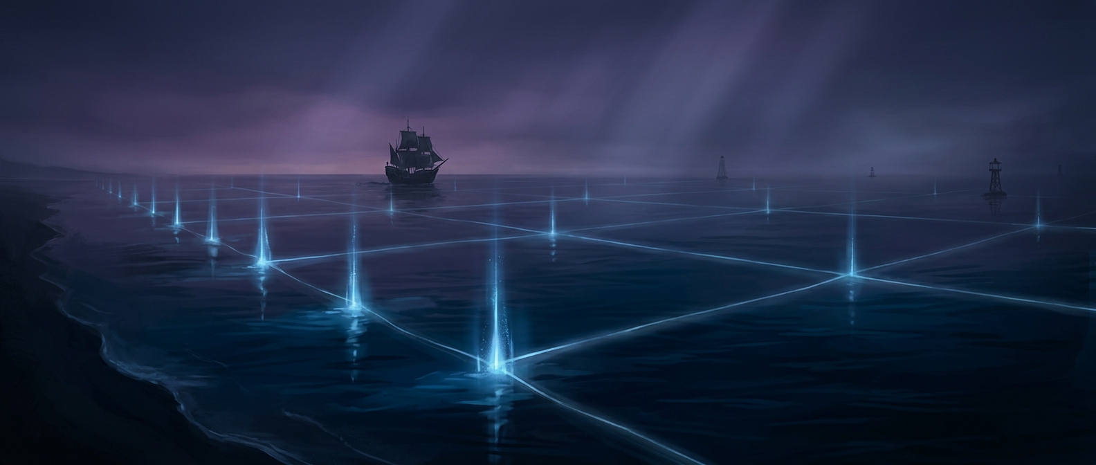
Why the ocean boundary moved outward
For centuries, a coastal country’s strongest legal control generally stopped close to shore. But fishing fleets could travel farther, and offshore technology made distant oil and gas increasingly reachable. That created a practical conflict: who could manage valuable resources beyond the narrow strip of sea under a country’s full authority?
During the 20th century, coastal states began asserting broader claims over nearby waters and their resources. The claims varied, creating overlapping boundaries and uncertainty for ships and fishers. A limit of 200 nautical miles—about 230 regular miles—gained support as a workable common distance, though it was not a natural edge in the ocean. International negotiations eventually made the zone part of the 1982 UN Convention on the Law of the Sea, which entered into force in 1994.
Rights over resources, not the whole sea
Within an exclusive economic zone, a coastal state has specified rights to explore, use, conserve, and manage resources such as fish, oil, and gas. It can set rules for fishing and resource extraction, and authorize activities such as building offshore installations. The zone can extend as far as 200 nautical miles from a country’s coastal baseline, subject to boundaries with neighboring states whose claims overlap.
That authority is not the same as owning the water. The zone is distinct from territorial waters, where a country exercises sovereignty. In an exclusive economic zone, other countries generally retain freedoms such as navigation and overflight. The legal arrangement thus draws a line around resource control without turning the vast area inside it into national territory.
The result is a boundary that looks simple on a map but reflects a negotiated compromise: coastal nations gained a broad say over nearby wealth, while the ocean remained open to international passage.