The route was designed before the arches
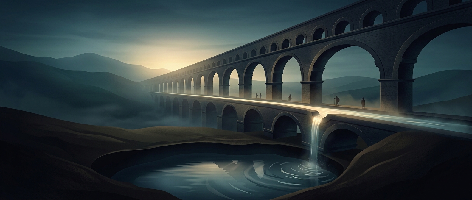
An aqueduct was not simply a bridge carrying water. Most of its route was a covered channel, often cut through hills or buried underground; the high arcades appeared where the terrain dipped and a channel needed support. Surveyors had to keep the route descending gently enough for water to flow, but not so steeply that it rushed along and damaged the channel.
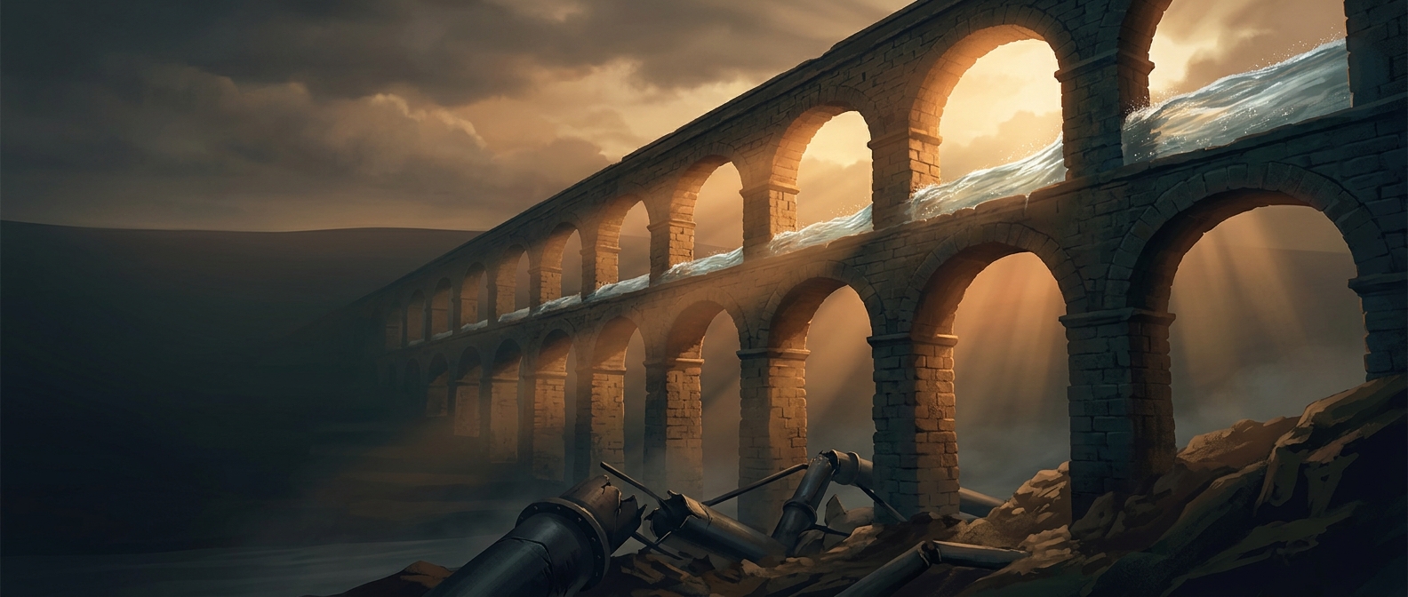
That made the landscape part of the engineering problem. Where a valley was too deep or wide for a practical bridge, Roman builders could use a siphon: water flowed down a pipe and then rose again on the far side, driven by pressure from the descending leg. Such crossings required sturdy pipes and careful construction, so the route and method depended on local terrain.
A working water system, not a monument
At the city end, water entered a distribution structure, where it could be directed into branches serving public fountains, baths, and other users. Settling basins along the way let some suspended grit drop out before it reached the network. The channels also needed inspection and repair: deposits could narrow them, and leaks or structural damage could interrupt the flow.
Gravity removed the need for pumps along the route, but it did not remove the need for labor. People had to maintain channels, clear blockages, and manage the distribution of water once it arrived. The arches that survive today are only the most visible parts of a system whose quieter work happened underground and at its endpoints.
The lasting feat was not that stone alone could move water, but that builders could read a landscape closely enough to make a reliable downhill path through it—and keep that path working.