One Island, Three National Borders
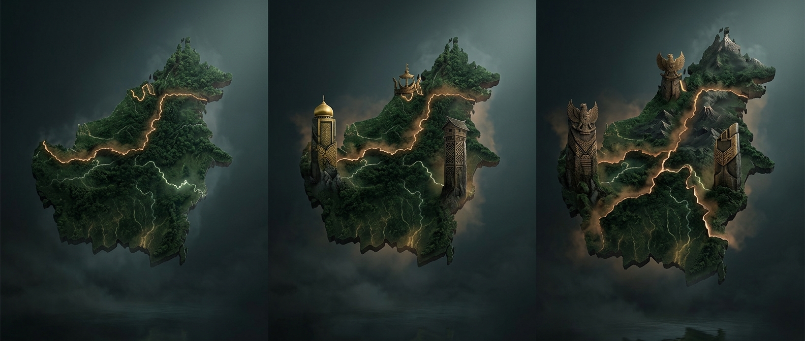
Borneo is divided among Indonesia, Malaysia, and Brunei—but the borders do not divide it into three equal pieces. Indonesia controls the large southern and central portion, known as Kalimantan. Malaysia’s states of Sabah and Sarawak occupy much of the north, while Brunei is a small independent country on Borneo’s northern coast.
The names can make the map seem more complicated than it is: Kalimantan refers to Indonesia’s part of the island, not the whole island. “Borneo” is the usual name for the island itself.
What the Division Means on the Ground
The boundary lines matter most when people, goods, and services cross them. A journey between communities on the same island may still involve an international border, with different immigration rules, currencies, and government systems on either side. Meanwhile, forests and rivers do not stop at those lines, so managing shared natural resources can require cooperation across countries.
Brunei’s small size makes the political patchwork especially visible. It sits between parts of Malaysia’s Sarawak, rather than occupying a large, separate stretch of coastline. On a map, Borneo looks like one continuous landmass; in daily life, its routes and institutions are shaped by three countries.