A city built around a directional spine
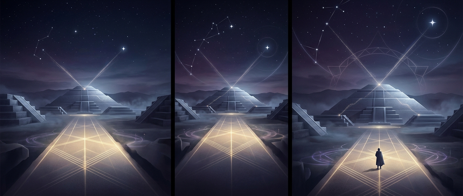
Teotihuacan’s streets do not follow the simple north–south and east–west grid familiar from many modern cities. Its main avenues share a deliberate slant, creating a strong visual axis through the city. That consistency made the layout legible: once a traveler knew the direction of a principal avenue, it could help them keep their bearings among neighborhoods and monumental buildings.
The axis also connected the built landscape to the sky. The Sun’s rising and setting points shift through the year, and those recurring movements offered reliable markers for direction and time. Researchers have linked Teotihuacan’s orientation to astronomical observations, especially the solar cycle. The exact meaning of every alignment is not certain, so it is safer to see the city as shaped by sky-watching than to assign each street to a particular star.
When the sky became a city map
A night sky can act like a compass: familiar stars appear in predictable parts of the heavens, while the horizon gives them a fixed frame. In a city with a consistent directional plan, that same sense of orientation carries down to the ground. A person could recognize the line of an avenue, relate it to the horizon, and use the city’s repeated geometry to navigate.
This did not require every resident to know the astronomy behind the plan. The practical effect was built into the streets themselves. Teotihuacan turned observations of the heavens into an enduring arrangement of avenues and landmarks, so the sky was not only something to watch above the city—it helped make the city intelligible below.