Measuring the Road One Wheel Turn at a Time
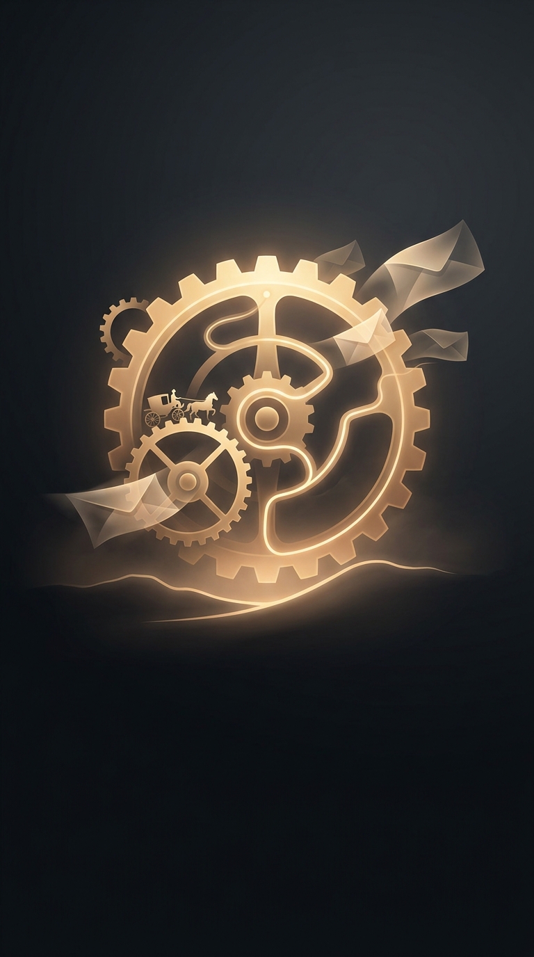
A postmaster planning a mail route needed more than a map: he needed to know how far a horse and rider would actually travel. Roads bent around hills, crossed bridges, and followed the settled corridors of the colonies, so straight-line estimates could be badly misleading. Benjamin Franklin addressed that practical problem with an odometer mounted on a carriage.
The device turned wheel motion into a distance reading. Its mechanism counted wheel rotations; because the wheel traveled a known distance with each turn, the count could be converted into miles. Unlike estimating from a map, this method measured the road as the carriage rolled over it.
Why Distance Mattered to the Postal Service
In the eighteenth-century postal system, the length of a journey affected the cost and difficulty of carrying mail. Better measurements could help officials compare routes, plan service, and make distance-based charges less dependent on guesswork. Franklin’s odometer therefore served as a tool of administration as much as a mechanical curiosity: it made the physical network of roads easier to describe in numbers.
That did not, by itself, transform every colonial post route or guarantee punctual delivery. Mail still depended on passable roads, reliable carriers, and the time it took to travel between settlements. But a measured route gave postal officials a firmer basis for organizing the service and judging how much ground a delivery required.
The useful insight was simple: to improve a system that moved over roads, first measure the roads people actually traveled. Franklin’s carriage device made each wheel turn count toward that practical task.