Where the Equator Meets the Date Line
The Equator and the International Date Line do different jobs. The Equator divides Earth into Northern and Southern Hemispheres; the Date Line marks the rough boundary where the calendar date changes by a day. Where the two lines meet in the Pacific, a ship can extend across both boundaries at once.
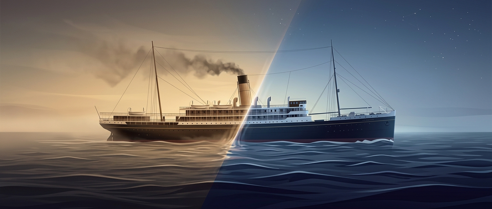
That makes the ship a miniature geography lesson: one end may lie north of the Equator while the other lies south, and parts of the vessel may sit on opposite sides of the Date Line. The Date Line is not a physical barrier. It is a convention for keeping neighboring regions’ calendars in step, and its route bends around islands and political boundaries.
A Map’s Answer Versus the Crew’s
On a chart, a position on one side of the Date Line is assigned a different calendar date from a position on the other. So a single ship can occupy locations that map to two dates. The date change is a consequence of crossing an agreed boundary—not an event that happens separately to each part of the vessel.
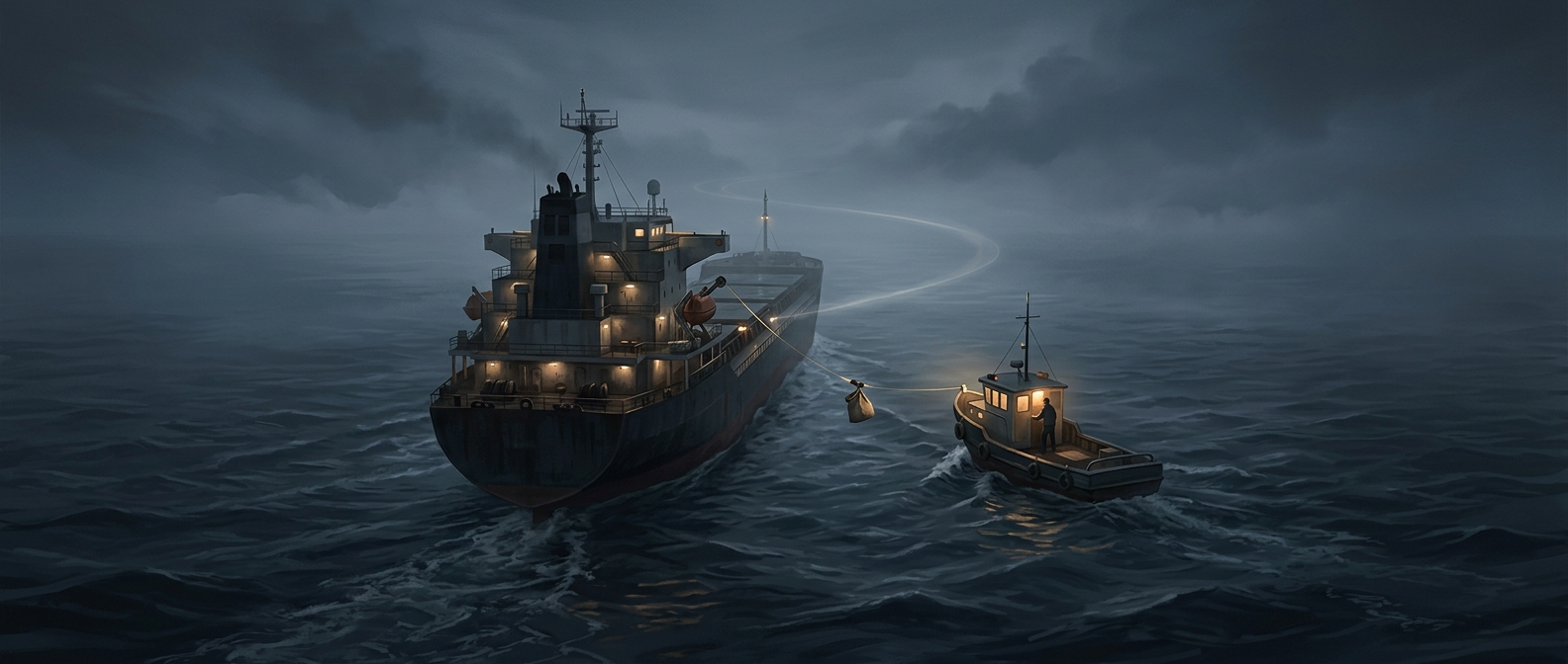
A working ship, however, keeps one onboard clock and follows a chosen shipboard time. The crew does not need to maintain two simultaneous dates at opposite ends of the deck. The awkwardness belongs mainly to describing the ship’s position: its coordinates can straddle lines that divide the world into hemispheres and calendar days, while life aboard continues on one shared schedule.