A closer look
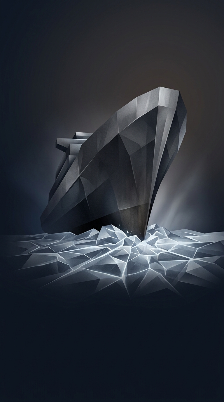
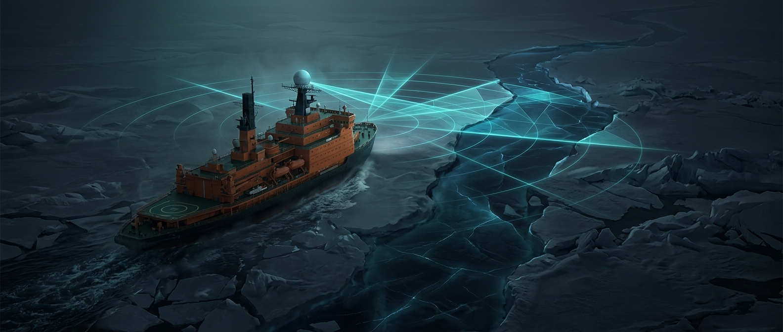
Smashing a nuclear-powered ship through three meters of solid Arctic sea ice isn't about brute force; it's about cheating. Convoys along the Northern Sea Route rely on synthetic aperture radar from passing satellites to map the ice thickness ahead. Navigators analyze this data to find microscopic 'leads' or stress fractures in the ice sheet, guiding a trail of fragile commercial freighters through the frozen wasteland with mathematical efficiency.