A road grievance became a secession campaign
In 1941, residents and local officials in far-northern California and southern Oregon argued that their distant state governments were neglecting the region. Poor roads made the complaint tangible: communities were separated by difficult journeys, and residents felt that decisions and public investment favored population centers farther south or north.
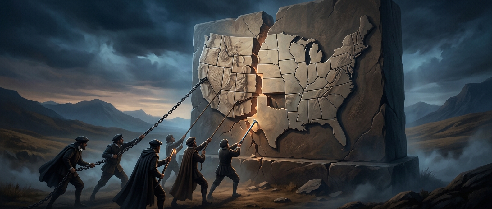
The proposed State of Jefferson would have joined counties from both states into a new one. The plan was not simply a bid to redraw a map; it was an attempt to make a sparsely populated border region harder for state governments to ignore. Its supporters used the name Jefferson to give the shared campaign a distinct identity.
The highway blockade made the protest visible
In late November, the movement’s most dramatic gesture came near Yreka, California. Armed local men stopped traffic on a highway and handed out a proclamation announcing that the region was seceding. The roadblock turned a complaint about roads into a striking public spectacle—and briefly drew national attention to the proposed state.
But the declaration was symbolic, not an accomplished legal separation. Creating a new state would have required approval from both state governments and Congress, a far more difficult process than announcing independence at a roadside blockade.
War displaced the local cause
On December 7, Japan attacked Pearl Harbor, and the United States entered a world war. The urgent national crisis quickly eclipsed a regional campaign built around local grievances. The Jefferson movement lost its audience, and its effort to form a state stalled.
The episode remains a vivid example of how infrastructure can become a political fault line: when residents experience neglect as miles of bad road, even a remote border region can make a dramatic claim on the map.