How a boundary line brought Ohio and Michigan to a standoff
The dispute was about more than a narrow strip on a map. The Toledo area sat at the western end of Lake Erie, where access to the lake and routes into the interior gave the future city practical value. Ohio and Michigan Territory both claimed it, and the line separating their claims depended on how an older, imprecisely described boundary was surveyed.
Ohio had entered the Union with one interpretation of the boundary. Michigan’s territorial government relied on another, based on the Northwest Ordinance’s description of the region. When Michigan moved toward statehood, the disagreement became a contest over who would govern Toledo and the surrounding strip.
A border dispute, enforced on the ground
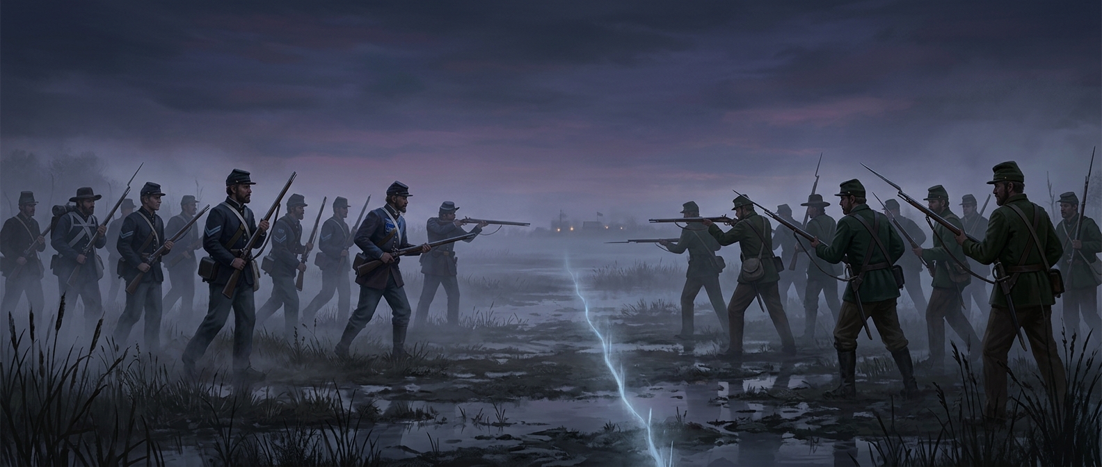
In 1835, officials on both sides tried to assert authority: they organized local government, issued warrants, and sent law officers into contested territory. Residents could be caught between rival claims, while arrests and counter-arrests raised the stakes. The confrontation became known as the Toledo War, though it was a political and legal struggle rather than a sustained battle. The reported stabbing of a Michigan sheriff in the leg with a penknife was its only reported injury.
The compromise reshaped Michigan
Congress settled the dispute in 1836 by recognizing Ohio’s claim to the Toledo strip and offering Michigan statehood with the Upper Peninsula. Michigan’s delegates initially rejected the terms, but a later convention accepted them, clearing the way for admission to the Union in 1837.
At the time, the Upper Peninsula could look like a poor exchange for the disputed land. Its later importance—especially its mineral wealth—made the outcome seem very different. The settlement gave Ohio Toledo, but it also placed a vast northern region within Michigan’s borders, shaping the state’s distinctive two-part geography.