Why the mountains leave a straight corridor
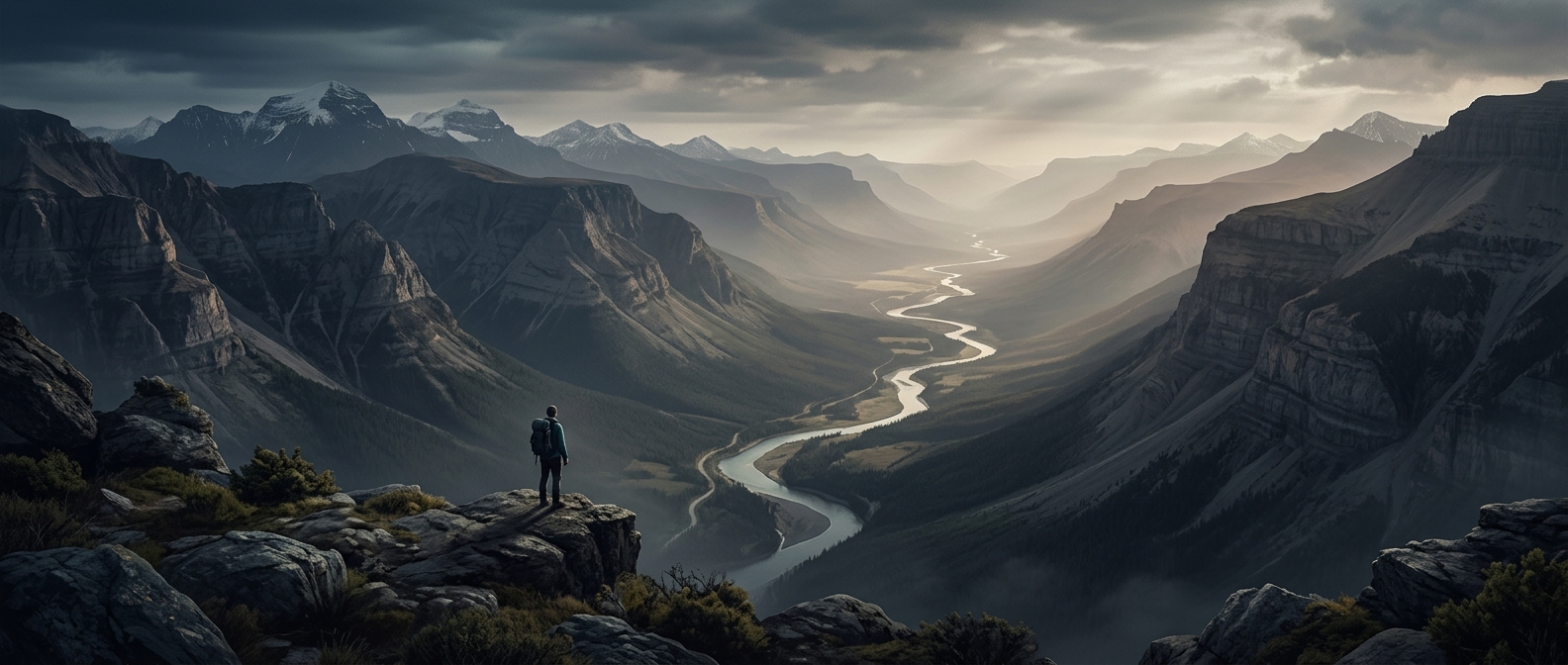
The Rocky Mountain Trench is not a canyon cut by one river. It is a long, low corridor shaped by the region’s underlying geology. Faults—fractures where blocks of Earth’s crust have moved—helped create a zone that weathering and erosion could wear down more readily than the harder rock around it. Later, glaciers deepened and widened parts of the valley.
That combination helps explain the striking contrast: mountain ranges rise on either side, while the trench holds a comparatively continuous route through them. Its straightness reflects the alignment of geological structures, not a single ruler-straight gorge.
A natural route through rugged terrain
The trench’s history is also a story of access. In a region where steep ranges can make travel difficult, a broad valley offers room for roads, railways, settlements, and utility corridors. Transportation routes follow portions of it because they can cross long distances without repeatedly climbing over mountain ridges.
The corridor is not uniformly flat or easy to traverse; rivers, lakes, local terrain, and weather still shape movement through it. But its large-scale form has made it a crucial north–south passage through British Columbia. The same geological structure that separated mountain ranges also created one of the most usable routes between them.