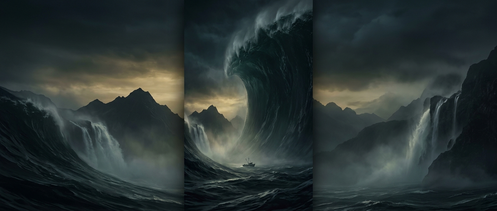
Why the Bay Made the Impact So Extreme
Lituya Bay is a narrow, steep-sided inlet. When the 1958 rockslide crashed into its water, the displaced water had little room to spread sideways. Instead, it surged across the bay and up the opposite slope, stripping trees and soil from a sharply defined swath.
That distinction matters: 1,700 feet describes how high the water reached on land, not the height of a wave traveling across the open ocean. Scientists call this kind of climb run-up. It records the elevation reached by the surge above the water’s usual level, much as a mark on a hillside records how far a flood pushed inland.
A Local Catastrophe, Not an Oceanwide Wave
The bay’s shape concentrated the landslide’s energy, producing a wave of extraordinary force in a confined place. But that same confinement helps explain why the event is remembered as a local megatsunami rather than a wave that devastated distant coasts. A large run-up inside a steep inlet does not mean an equally tall wave crossed the Pacific.
The lasting evidence was written onto the landscape: a high, cleared band where the surge removed vegetation. In Lituya Bay, the mountainside itself became a measuring surface for the violence of the impact.