Why Columbus imagined a raised Earth
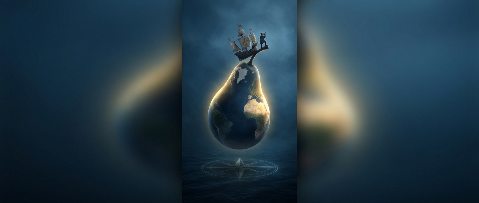
Columbus did not set out believing Earth was flat. Like educated Europeans of his time, he accepted that it was spherical. What he proposed late in life was stranger: that the sphere bulged upward in one region, like a pear, with a raised “nipple” near the top.
His idea grew partly from observations during his voyages. On his third expedition, he sailed into the Gulf of Paria, beside the coast of what is now Venezuela. The enormous flow of fresh water from the Orinoco River impressed him, as did the surrounding land. He connected these signs to the long-standing religious idea that the Garden of Eden lay in a high, remote part of the world. In his account, the land’s elevation became a feature of Earth itself.
The map problem the voyage could not solve
Columbus also interpreted his measurements through assumptions that made Asia seem reachable by sailing west from Europe. He had underestimated the distance around Earth and overestimated how far Asia extended eastward. Those errors helped make his proposed route look practical, but reaching islands and continents across the Atlantic did not establish where they sat in relation to Asia—or prove his imagined bulge.
The distinction matters: a voyage can reveal what lies along a route without correcting the larger map used to interpret it. Columbus’s crossings brought Europeans into sustained contact with lands unknown to them, but he continued to fit what he encountered into a mistaken picture of the globe. His pear-shaped Earth was an attempt to reconcile navigation, observation, and religious belief—not a conclusion confirmed by the voyage.