Two peaks, two starting lines
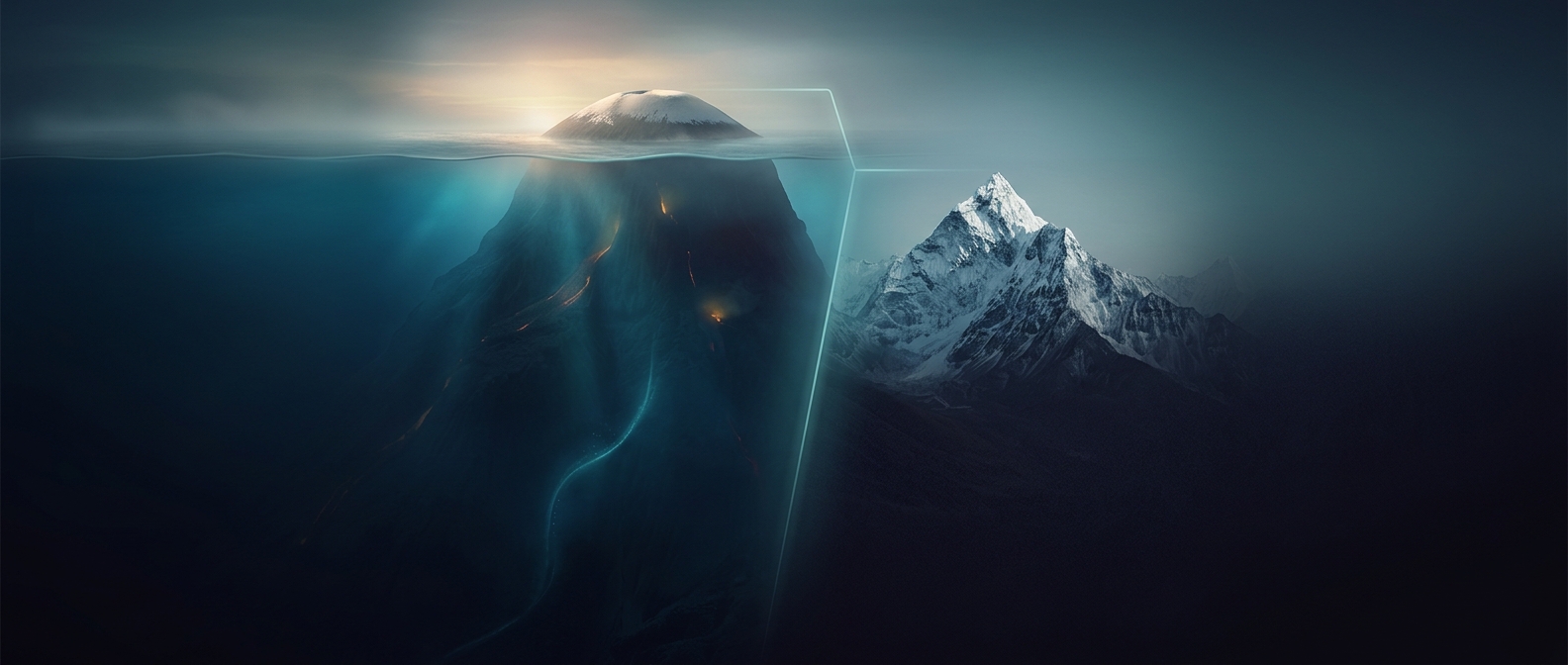
A mountain’s “height” depends on where you start measuring. Mount Everest’s familiar elevation is measured from sea level to its summit. Mauna Kea, on Hawaiʻi Island, rises only about 4,200 meters above sea level, so it appears much shorter on an ordinary elevation map. But that view leaves out the volcano’s submerged lower slopes.
Measure Mauna Kea from its base on the Pacific seafloor to its summit, and the full volcanic structure spans roughly 10,000 meters. That is greater than Everest’s roughly 8,850-meter elevation above sea level. The comparison is about total vertical extent, not which summit stands highest above the ocean.
How a volcano builds a hidden mountain
Mauna Kea grew as eruptions piled lava onto the floor of the ocean. As the volcano expanded, its weight pushed down the underlying oceanic crust, while successive flows built the mountain upward. Much of that structure is now underwater, making its true base easy to miss when looking at a map or a coastline.
The distinction matters because “tallest” is not a single measurement. Elevation above sea level answers how high a summit stands above the ocean; base-to-summit height asks how much mountain rises from its foundation. Everest wins by summit elevation, while Mauna Kea is taller when the submerged portion is counted.