A river becomes an international boundary
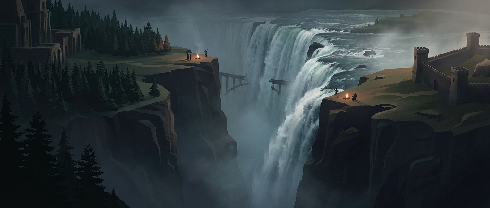
Iguazú Falls are not a single wall of water. The Iguazú River spreads over a broad edge of rock, breaking into many separate drops before gathering again below. Because the river marks part of the boundary between Argentina and Brazil, the waterfall is shared by both countries—not divided into two independent falls, but viewed and managed from opposite banks.
The geography shapes what visitors experience. On the Argentine side, paths and walkways extend out among the cascades, bringing visitors close to the spray and allowing them to follow the river’s many channels. From Brazil, trails offer a broader view across the falls. Each country’s access reveals a different scale: the rush of individual drops up close, or the sweep of the whole landscape.
One landscape, two national parks
The border does not stop at the water’s edge. Protected areas on both sides preserve the surrounding Atlantic Forest, a biodiverse subtropical woodland, as well as the river environment that feeds the cascades. The parks are administered separately, so crossing from one country to the other means passing through two national systems of roads, trails, and visitor facilities.
That arrangement makes the falls a striking case of a natural landmark shared across a political line. The river supplies the spectacle, but the border determines how people reach it and what they see. A visitor standing on one bank is looking at the same moving landscape as someone across the water—yet the routes, viewpoints, and park experience are distinctly national.