How California Became an Island on Paper
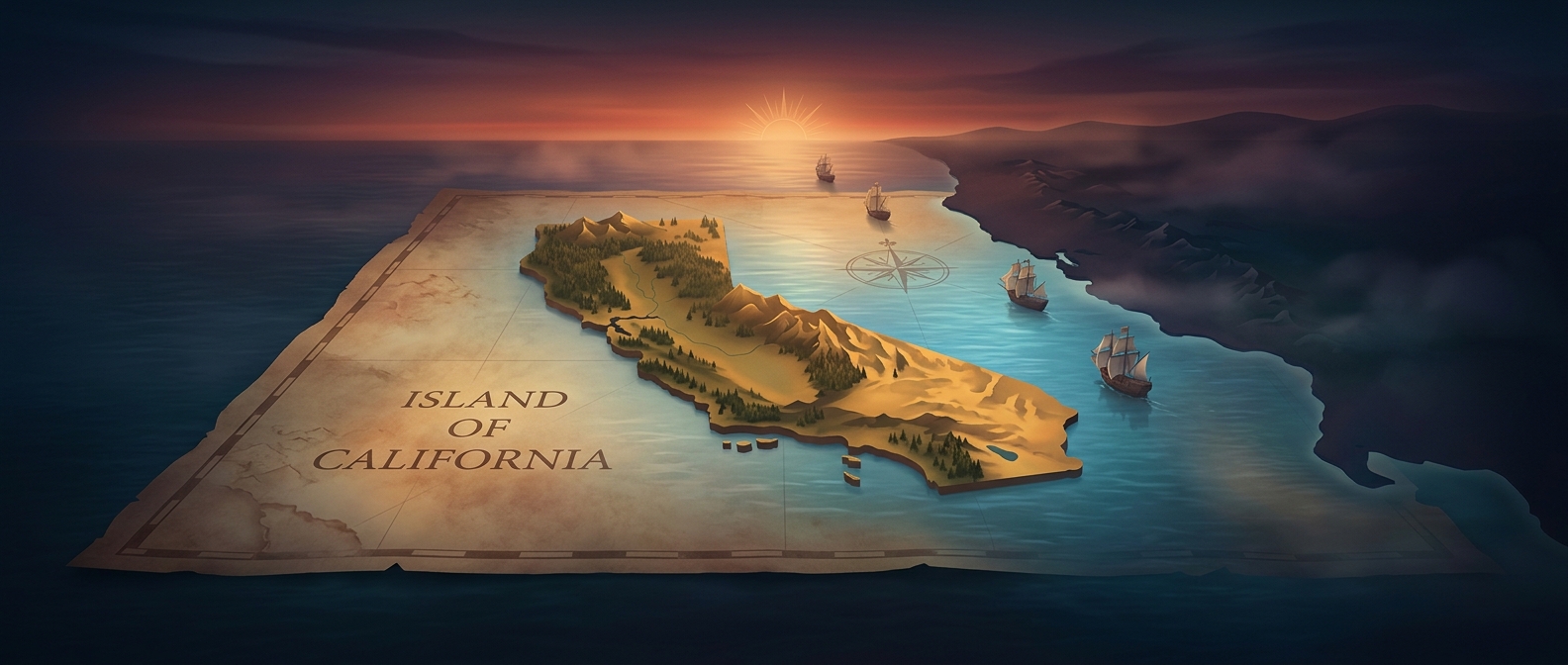
For much of the 1600s and 1700s, some European maps placed California on the far side of a narrow strip of water, separated from the rest of North America. “California” then referred chiefly to the long peninsula now called Baja California, not just the modern U.S. state.
The mistake grew out of incomplete exploration. Coastal voyages could reveal the peninsula’s Pacific shore without establishing how its northern end joined the mainland. On a map, an unexplored gap could be filled in as a passage—and once California was drawn as an island, later mapmakers could copy the outline rather than resolve the geography themselves.
Why the Error Lasted
Maps were often assembled from earlier maps and reports, not from a fresh survey of every coastline. A familiar island outline could therefore outlive the observations that should have challenged it. Meanwhile, the rugged interior and long distances made overland confirmation difficult.
In the late 1600s and early 1700s, Jesuit missionary and explorer Eusebio Kino traveled through the region and gathered evidence that California was attached to the mainland. His findings helped correct the map, but they did not instantly erase the island from European cartography. Printers and mapmakers continued to reproduce older versions, so the false channel lingered for generations.
The episode shows how a map can preserve uncertainty as if it were a physical feature. Each copied shoreline made the imagined passage look more settled, even though the land connection was there to be found.