History
The island that existed only on maps
HERE’S THE INTERESTING PART
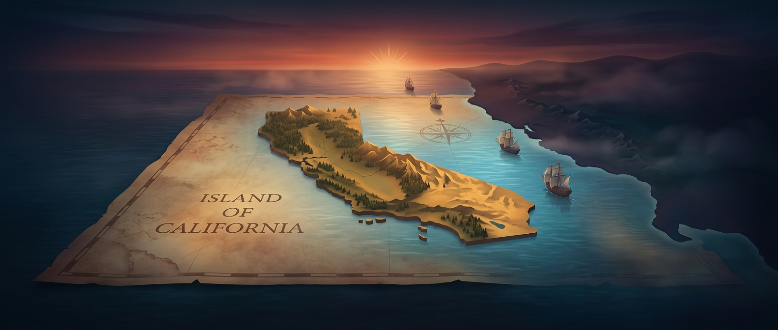
Sandy Island sat confidently on digital maps for years, tricking modern navigational systems into routing ships around a totally fictional piece of land near New Caledonia. When researchers finally sailed there in 2012, they found deep ocean instead of sandy beaches. It was a centuries-old typo that somehow survived into the modern era of satellite imaging.

One discovery leads to another.
Keep exploring facts in this topic.
History →