Why Baarle’s border became a patchwork
The border through Baarle is not a modern line drawn to divide a town. It is the result of medieval landholding arrangements: parcels controlled by the Duke of Brabant and the Lord of Breda became interspersed rather than forming two neat territories. When Belgium and the Netherlands established their national boundary in the 19th century, they largely inherited that tangled pattern instead of replacing it with a clean boundary.
The result is a Belgian municipality, Baarle-Hertog, whose territory includes many small enclaves—pieces of land surrounded by another country. Within some Belgian enclaves lie even smaller Dutch parcels, creating a border that can turn back on itself within a few steps.
A boundary that reaches into daily life
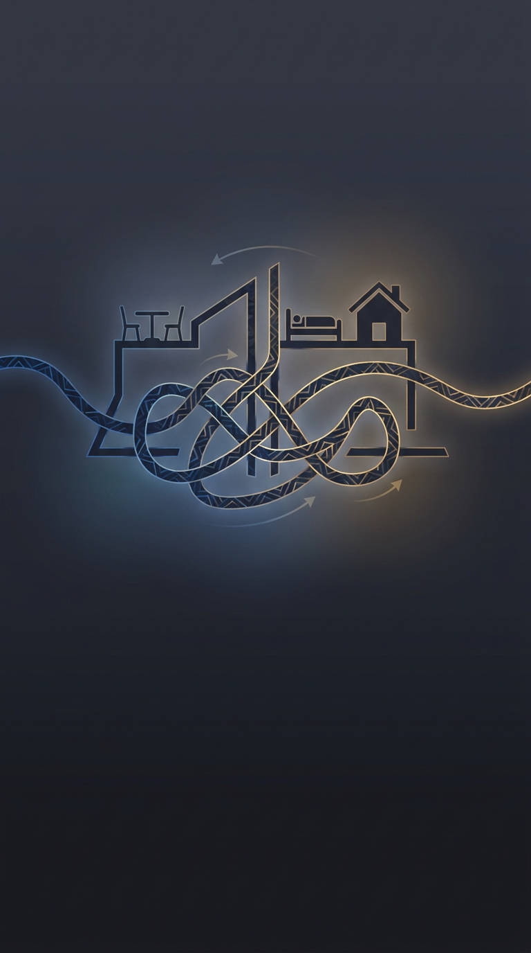
Because the national line follows parcel boundaries, it can cross the footprint of a building. A café or shop may therefore sit in both countries, and a doorway or room can fall on a different side from the rest of the premises. The border is not just a mark on a map: it can determine which municipality handles local matters for a particular address.
For visitors, the line is made visible with pavement markers and small metal signs, so its twists can be followed through streets and past buildings. The unusual layout also gives residents and businesses a practical question to settle when a boundary crosses a doorway: which side counts as the main entrance? In Baarle, an international border can be measured not in miles, but in the few steps from one end of a room to the other.