A map turned into a hands-on exercise
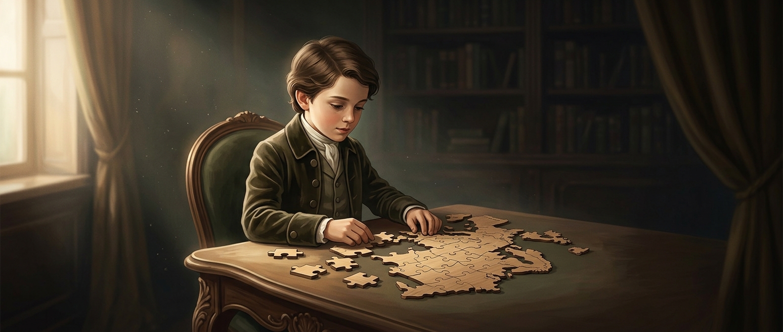
Before geography could be practiced on a screen, a teacher could turn a map into a task: put the countries back where they belong. John Spilsbury’s wooden map was divided along national borders, making each country a separate piece. Students had to recognize its outline and work out where it fit in relation to the others.
That changed map learning from simply looking at names and boundaries into handling them. A student placing a piece had to attend to both its shape and its neighbors: a country’s position made sense through the surrounding countries, not just through a label on a page.
Why the pieces followed borders
The cuts were part of the lesson, not a decorative pattern. Because each piece represented a whole country, the map’s political divisions became the puzzle’s working parts. Putting it together rehearsed the geography the map was meant to teach—where countries lay and how their borders connected.
These early puzzles were often called dissected maps. They were made from printed maps mounted on wood and cut apart, rather than designed with the interlocking tabs and blanks familiar from many modern puzzles. The format made a classroom map reusable as an activity: scramble the pieces, then reconstruct the larger picture.
The idea endured because it joined two kinds of learning in one object. The map supplied the information; the act of fitting its pieces made students retrieve and test that information for themselves.