A cross-country trip without a continuous road
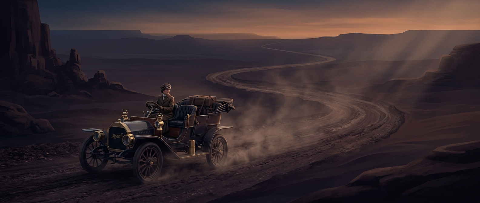
In 1909, “drive across America” did not mean following one finished highway from coast to coast. Roads were largely local routes, often unpaved, and their condition could change sharply between towns. A line on a map might lead to a muddy track, a sandy stretch, or a bridge that could not safely carry a car.
That made navigation part of the driving itself. Ramsey and her companions had to piece together a route from whatever information was available on the ground: signs, landmarks, maps, and directions from people who knew the next stretch. A wrong turn could cost more than time if it led to a road the car could not manage.
The road tested the car as well as the crew
On rough surfaces, tires took repeated punishment, while mud, sand, and uneven crossings could stop a vehicle outright. A puncture was not a quick roadside call to a service truck: the travelers had to deal with the problem using the tools and supplies they carried, or find help nearby. Progress depended on choosing a passable way forward and getting the car moving again—not simply on how fast its engine could run.
The Maxwell’s journey therefore exposed a basic limit of early motoring: a car could travel far, but only if its route, repairs, and daily conditions cooperated. The lack of a continuous road network turned each day into a series of small decisions about where to go and what the vehicle could cross.
What the journey demonstrated
Ramsey’s 59-day trip made a coast-to-coast drive imaginable at a time when the route itself was still uncertain. Its achievement was not just covering distance; it was showing that travelers could connect scattered roads into a transcontinental journey—even when the “highway” ahead might amount to asking someone in the next town which way to go.