How Greece’s Coast Became an Archipelago
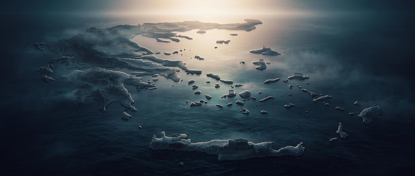
Greece’s many islands are the visible result of a landscape broken into peninsulas, gulfs, and mountain ridges. In the Aegean Sea, rising and falling sea levels over geological time submerged low ground between higher areas, leaving peaks and ridges separated by water. The result is not one uniform chain but a scattered pattern of large islands, small islets, and rocky outcrops.
The islands also fall into recognizable groups. The Cyclades form a loose ring around Delos in the central Aegean; the Ionian Islands lie off Greece’s western coast, while Crete stretches across the southern edge of the Aegean. Their different positions give them distinct connections to the mainland and to one another.
Water Shapes Everyday Connections
For residents, the sea is both a link and a barrier. Ferries carry people, vehicles, and supplies, but schedules and routes can make a short distance on a map feel much longer in practice. Larger islands often serve as regional hubs, with smaller neighbors relying on them for services and transport.
The same geography that complicates travel has helped make island-hopping a defining way to experience Greece. Each crossing brings a change in landscape and local character—but reaching a quiet, remote islet can take more planning than its proximity suggests.