A Coastline Left Behind by Ice and Rising Seas
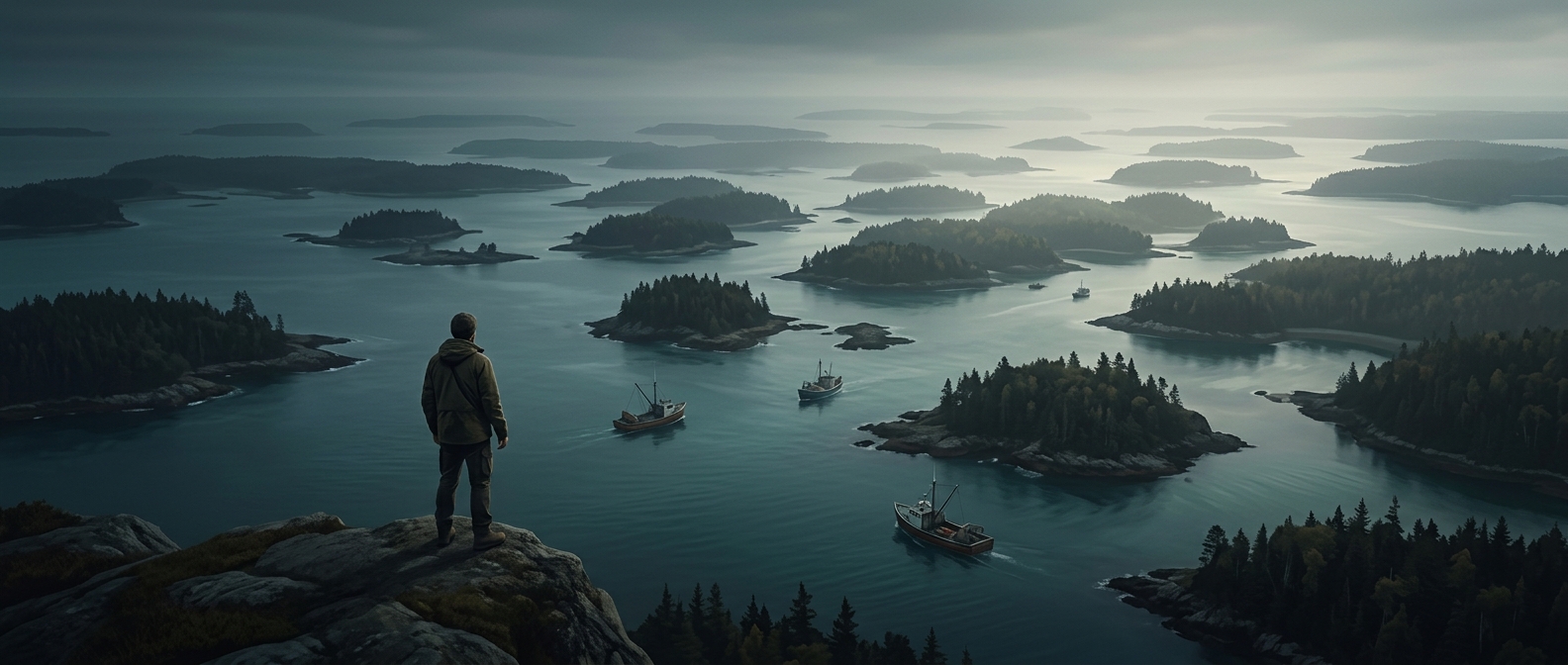
Maine’s islands are part of a coastline that was shaped first by glaciers and then by the sea. During the last ice age, immense sheets of ice scraped and fractured the region’s bedrock. As the ice melted, the land’s low areas flooded, leaving higher rocky ridges separated from the mainland by salt water. What looks like a scatter of islands is, in many places, the flooded edge of a once-connected landscape.
Why So Many Islands Are Small and Rocky
The coast’s uneven bedrock creates a patchwork of inlets, peninsulas, ledges and offshore fragments rather than a smooth shoreline. Some rocky rises stand clear of the water; others are exposed only at low tide. That makes “island” a practical description as much as a dramatic one: the visible land can change with the tide, and the boundary between shore and sea is full of narrow passages.
A Landscape That Shapes Local Life
The same broken geography that produces the islands also shelters coves and creates sheltered routes between exposed stretches of coast. It makes travel by water closely tied to local conditions: a short distance on a map can involve winding around headlands or navigating between rocks and islands. Many of the small islands remain lightly inhabited, so the coast can feel less like a continuous strip of land than a chain of separate, sea-facing places.
The striking detail is that Maine’s islands are not simply dots scattered offshore. They are the surviving high points of a rugged landscape whose lower parts the ocean has claimed.