How a limestone plateau becomes a maze of blades
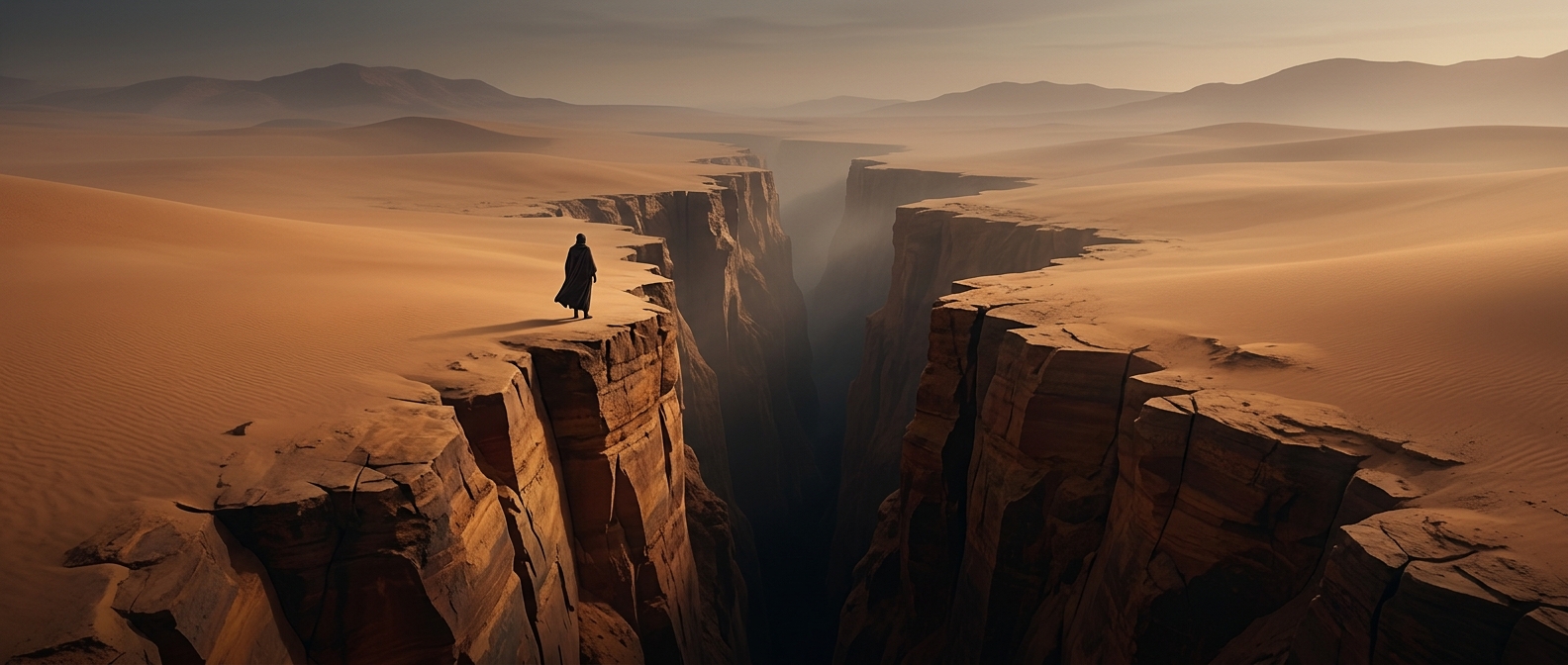
Tsingy de Bemaraha began as a thick bed of limestone, the rock formed from ancient marine sediments. Over time, rainwater—slightly acidic after absorbing carbon dioxide from air and soil—seeped into cracks and slowly dissolved the stone. Cracks widened into deep slots, while exposed surfaces were etched into narrow ridges and points. The result is a karst landscape: terrain shaped by water dissolving soluble rock.
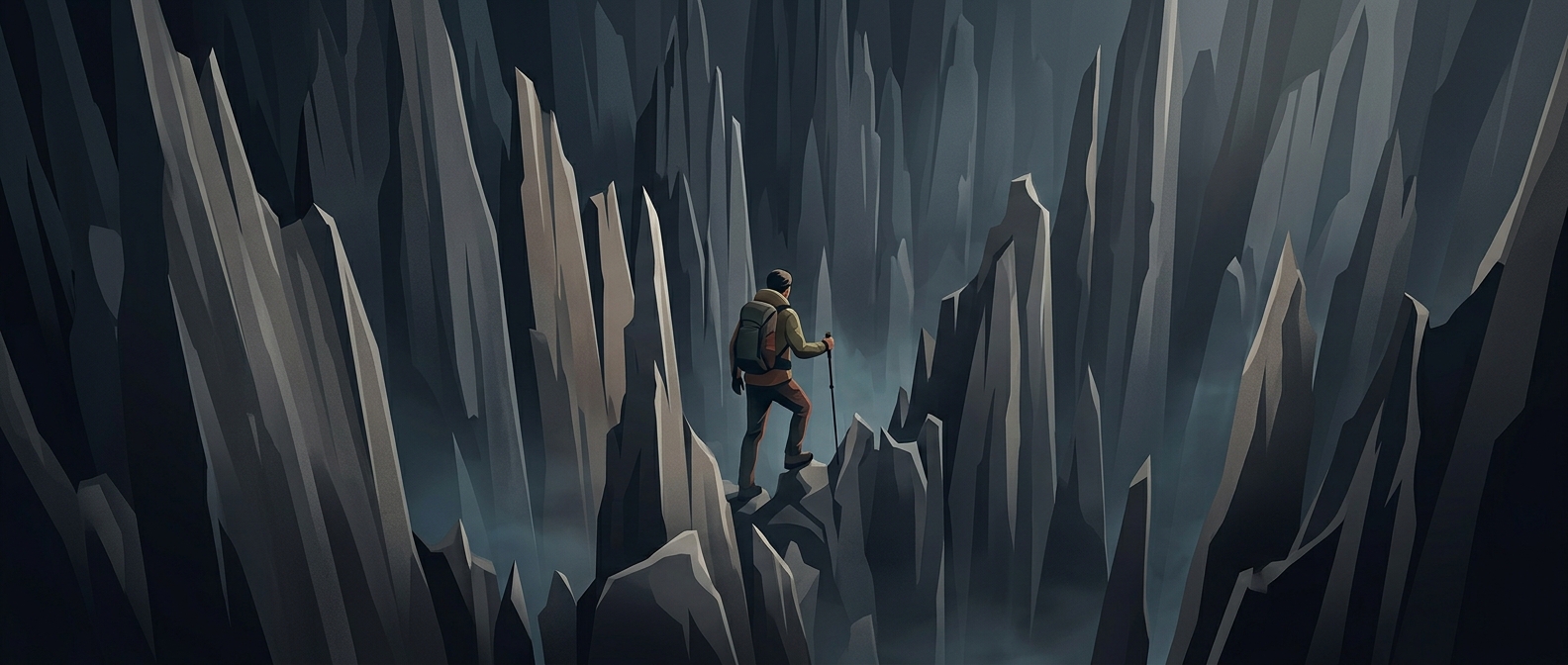
That process leaves little level ground. Pinnacles rise beside crevices, and some gaps are deep enough to make a simple step or stumble consequential. The sharpness is not just a visual effect; the rock’s broken edges can catch clothing and cut unprotected skin.
Moving through the stone forest
The terrain changes what counts as an ordinary walk. Visitors follow established routes rather than picking a path across the pinnacles, and some passages involve ladders, fixed lines, or bridges. A guide helps travelers read the route and avoid treating a narrow ridge like a broad trail. Sturdy footwear and clothing that covers the skin matter for the same reason: contact with the limestone can turn a slip into an injury or a torn sleeve.
The landscape’s striking silhouette is therefore also a record of erosion. Water has carved a plateau into a place where the safest route is not necessarily the straightest one, but the one that stays on stable ground.