A closer look
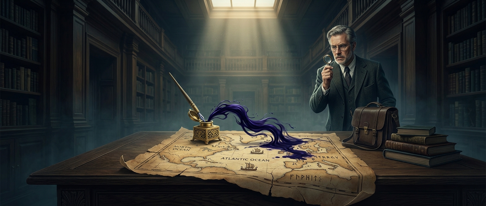
In an era where a correct bearing could yield a fortune in nutmeg and cinnamon, cartography was basically an aggressive arms race. The Portuguese Casa da Índia was the central hub for the most secretive geographical data on the planet. Their master map, the Padrão Real, was continuously updated by returning captains under strict royal oversight. Leaking these coordinates to the Spanish or Dutch was considered high treason. Spies from rival nations routinely attempted to bribe mapmakers or outright steal the charts, turning Renaissance mapmaking into a lethal game of geopolitical espionage.