A closer look
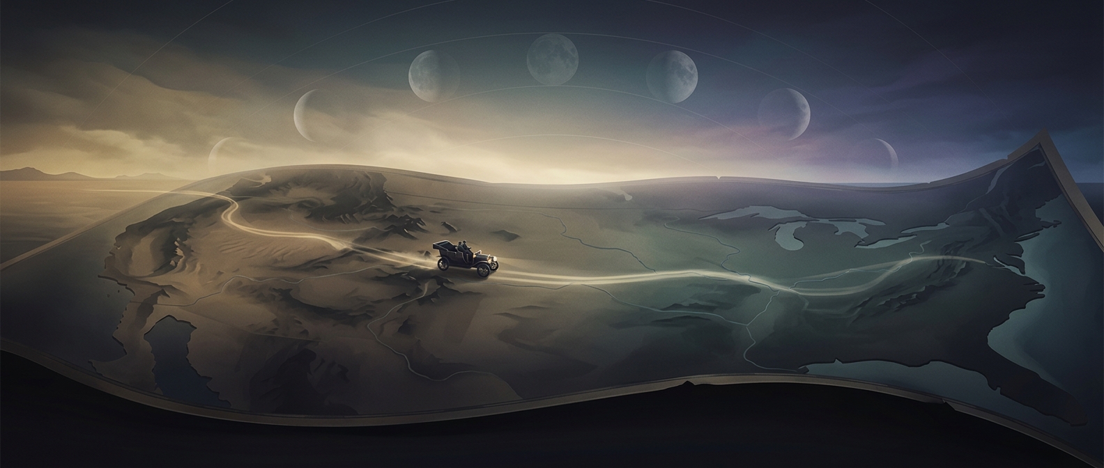
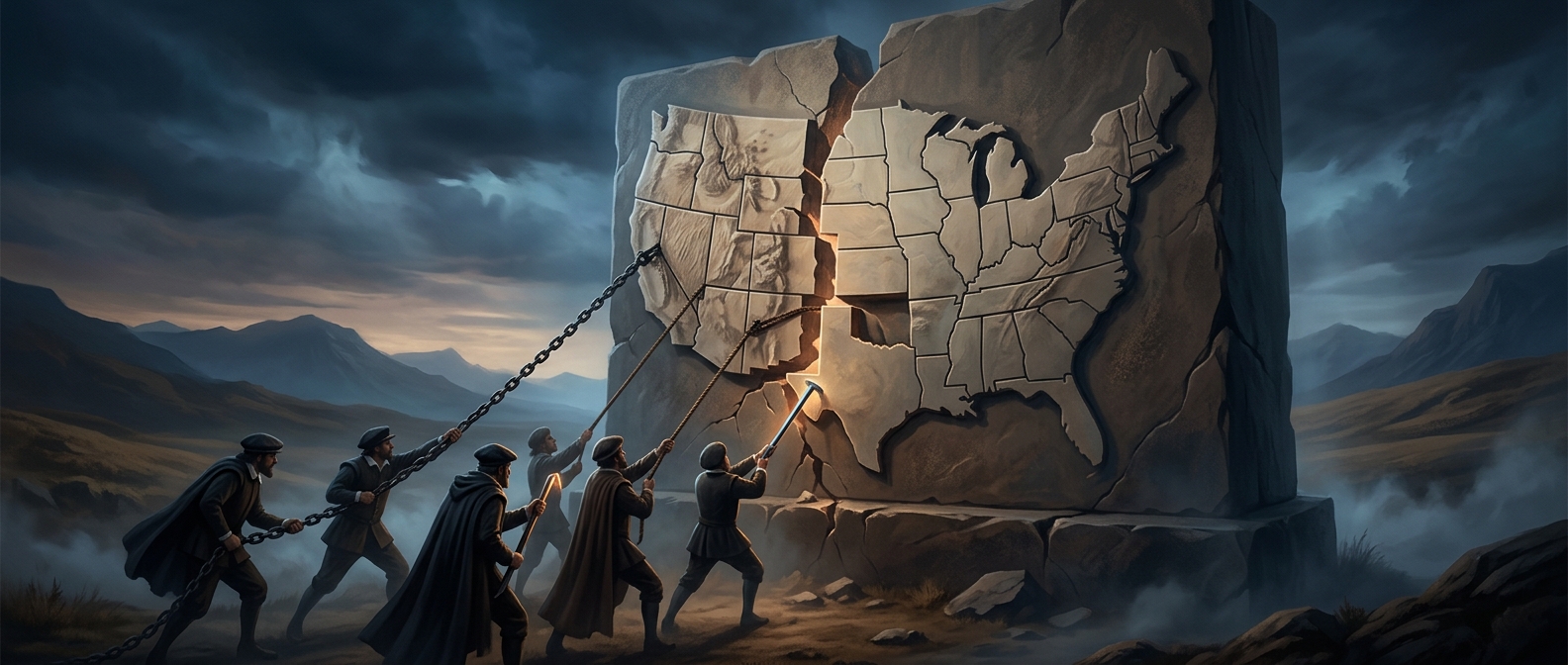
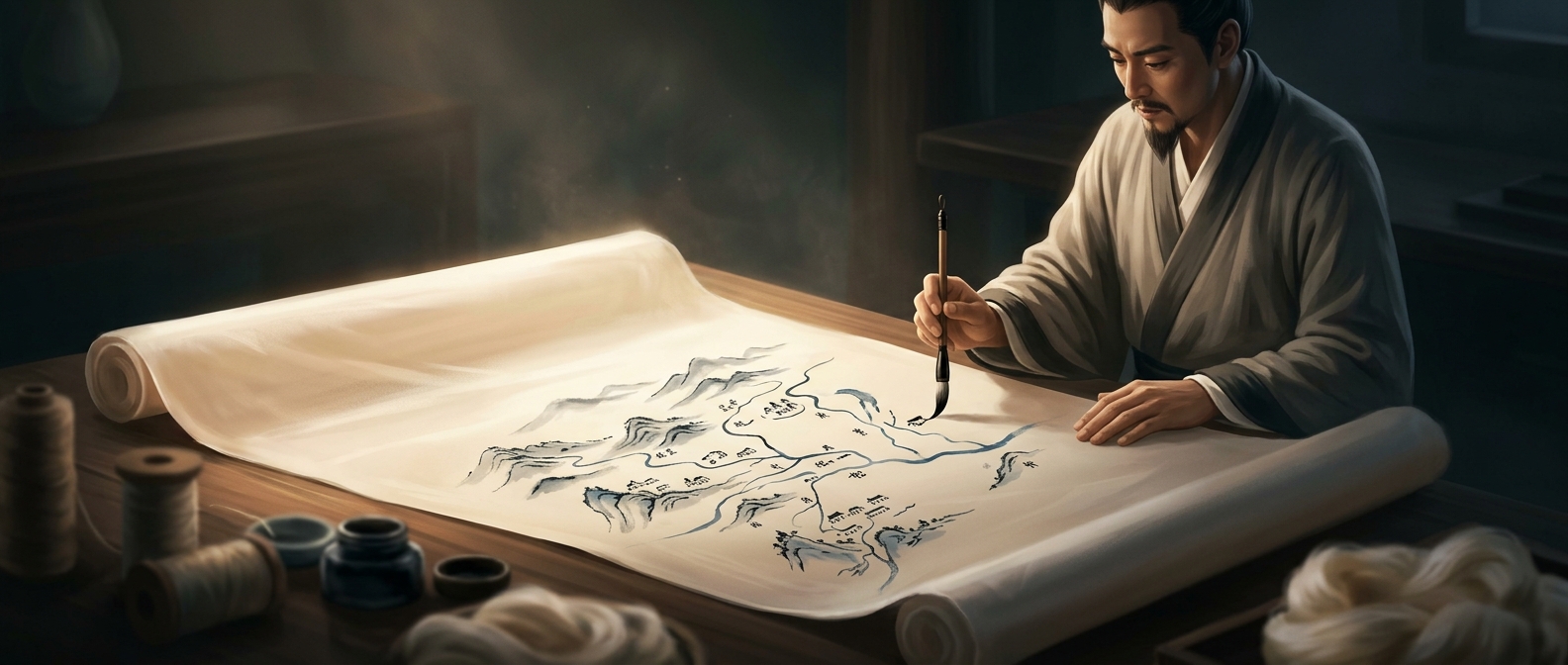
Recording incredibly detailed geographical boundaries usually involves delicate scrolls that completely disintegrate over time. Certain ancient mapmakers entirely bypassed this issue by painting incredibly precise topographical charts completely onto massive sheets of woven silk. It was essentially the ancient equivalent of printing a highly durable, flexible document that could be completely rolled up and carried into rugged environments.