How Venice’s water buses fit a city without street corridors
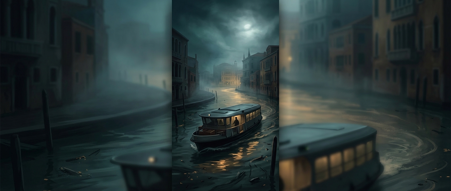
A vaporetto route is more than a boat journey from one stop to the next: it is a transit line laid over a network of canals and lagoon channels. Instead of boarding beside a curb, passengers use floating platforms that rise and fall with the water. Boats follow set routes and schedules, linking neighborhoods and islands that would otherwise require a longer trip across the lagoon or on foot.
That layout changes the usual transit tradeoff. On land, a bus can steer around a blockage or pull into a lane; in Venice, a boat needs a navigable channel and a usable landing. Routes must work with the width and depth of waterways, the location of platforms, and the movement of other boats. A stop is therefore a fixed point in a watery network, not simply a place where a vehicle can pause.
The wake is part of the engineering problem
A moving boat pushes water aside, leaving a wake that spreads toward canal walls and other vessels. In Venice’s confined waterways, that disturbance matters: it can make boarding less comfortable and add wear to the edges of canals and their structures. Operators must balance carrying passengers efficiently with moving through crowded channels at a pace that limits disruption.
The result is a transit system shaped by both geography and water movement. The same channel that serves as a route also carries the boat’s wake, so every trip links the practical work of getting people across town to the physical condition of the city around it.