How a Strait Becomes a Working Crossing
A ferry crossing here is more than a short line drawn across a map. The Strait of Gibraltar is a busy passage between the Atlantic and the Mediterranean, so ships must share the water with other maritime traffic while dealing with changing winds and currents. Operators plan routes and departures around those conditions; rough weather can slow or disrupt a crossing.
The service also links places with different transport networks. On the Spanish and Moroccan sides, ports connect the sea journey to roads and onward travel. For passengers, that makes the ferry a practical alternative to flying—especially when bringing a car—rather than simply a scenic boat trip.
The Ship Carries the Journey’s Next Leg
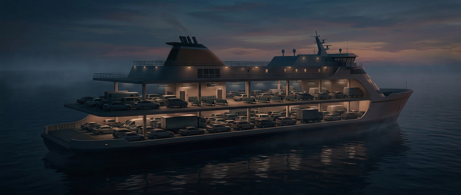
Many cross-border ferries are built to take both foot passengers and vehicles. Their vehicle decks let cars and other road traffic roll aboard, while passenger areas accommodate travelers without vehicles. This design turns the ship into a movable piece of road infrastructure: people can continue their trip on the other shore without arranging a separate vehicle transfer.
That convenience comes with a tradeoff. A crossing involves port procedures as well as time at sea, and international passengers must complete the required border checks. A ferry may feel like a direct connection, but the port is also a checkpoint and a transfer hub.
A Short Crossing, With Wider Consequences
The strait’s narrowness makes the link conspicuous, but its usefulness comes from the network around it: ports, ships, road connections, and border processing all have to work together. When those pieces align, a stretch of water that separates two landmasses becomes a routine part of travel between them—one that can carry a family, its car, and its onward plans in the same vessel.