Reading a route in the sea
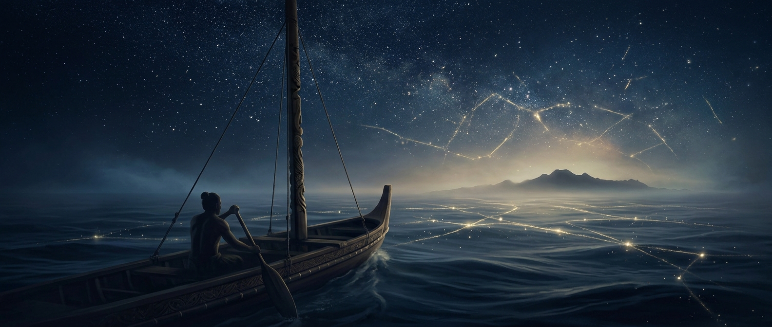
For a navigator crossing open water, the ocean was not an empty expanse. Long swells could keep a steadier direction than local winds, giving a voyaging canoe a sense of its course even when land had disappeared. By watching how waves met or crossed one another, navigators could track changes in direction and notice when an island altered the surrounding water. These patterns were subtle; they made sense through close observation and experience, not as a single, unmistakable signpost.
Seabirds offered a different kind of clue. Some birds travel out to feed and return toward land to roost. Their flight could help a crew judge which way land lay, especially when observed alongside other signs. A bird seen once might be far from shore; repeated sightings and knowledge of its habits mattered. The skill lay in combining clues, rather than trusting any one of them.
Knowledge carried aboard
In Māori traditions, Kupe is remembered as a navigator associated with the discovery of Aotearoa. Accounts differ, and the story belongs to a wider body of traditions about ancestral voyages across the Pacific. The navigational knowledge represented in such accounts was practical and learned: people had to interpret the sea, sky, wind, and living things while keeping a canoe on course over long distances.
Without electronic instruments, a crew could not simply check a position on a screen. They had to maintain a mental picture of their route and continually compare what they saw with what they expected. That made navigation a shared, ongoing task: one observation could confirm or challenge another as the voyage unfolded.
The striking implication is that open water could still be legible. A change in swell or a bird’s direction was not just scenery; in experienced hands, it could help turn an immense ocean crossing into a route made of readable signs.