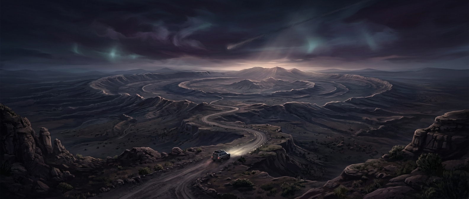
A crater written into the rock
Vredefort’s immense size is not visible as a neat bowl. The impact happened about 2 billion years ago, and erosion has since worn away much of the original crater. What remains is a landscape of deformed rock and a broad, curved geological feature known as the Vredefort Dome.
The dome formed when the impact drove rock downward and then forced deep material back upward, much like a surface briefly pushed in and rebounding. That movement bent and fractured layers of ancient rock, leaving a central uplift that geologists can still trace. The roughly 186-mile span describes the resulting impact structure, not a pristine crater rim you can follow on the ground.
Why roads cross an ancient impact site
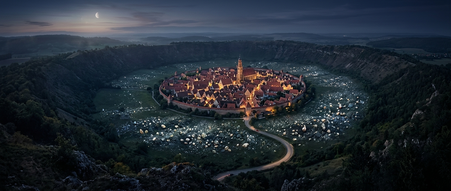
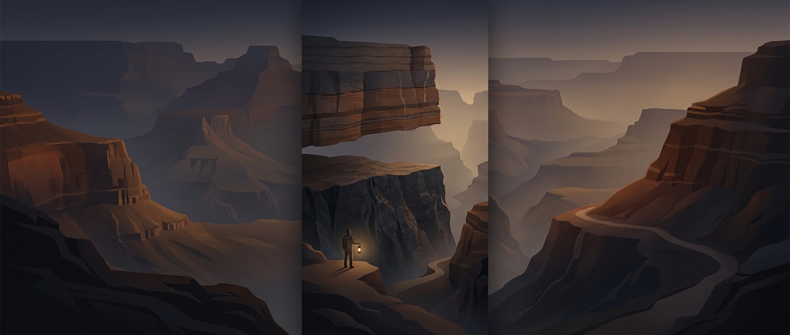
The dome is part of an inhabited landscape, not a fenced-off pit. Roads cross it because the impact structure is now a region of hills, valleys, farms, and settlements. The evidence lies in the rocks beside the route: layers that have been tilted, broken, or thrust upward from far below the surface.
For visitors, this changes what “seeing a crater” means. There is no single viewpoint that reveals the whole structure. Instead, the scale becomes legible through the terrain and the geology beneath ordinary journeys. The impact’s most lasting mark is not an open hole, but the vast rearrangement of rock that erosion has gradually exposed.