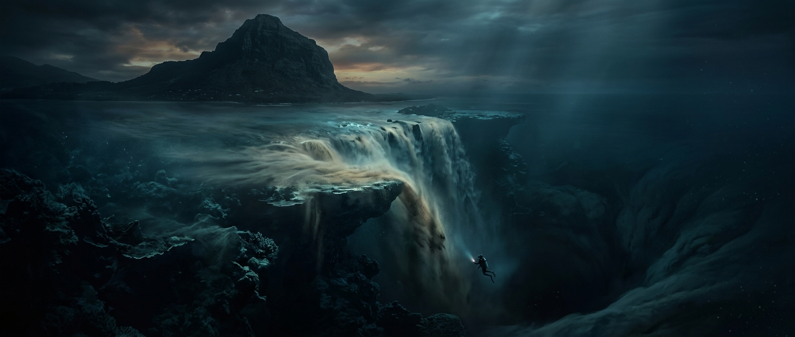
Why Mauritius Looks Like It Has an Underwater Waterfall
Off the island’s southwestern coast, near the Le Morne peninsula, pale turquoise water seems to spill over a dark edge into the deep blue. Seen from above, the contrast can look like a waterfall dropping beneath the sea. But the ocean floor does not suddenly open into a vertical abyss there: the effect comes from the shape of the seabed and the movement of sediment across it.
A Shelf That Slopes Into Deep Water
Mauritius sits on a broad underwater platform. Near the coast, the seafloor is relatively shallow; beyond its edge, the seabed descends steeply into much deeper ocean. That change in depth creates a strong boundary between the light-colored lagoon and the darker water offshore.
Sand and fine silt are carried over the shelf’s edge by currents. Against the deep blue background, these sediments form streaks and fans that resemble water pouring downward. The “fall” is therefore a shifting pattern on the ocean floor, not a stream of water dropping through open space.
The View Depends on Perspective
From a boat at sea level, the seafloor and the full pattern are difficult to see. The illusion becomes striking from above, where the shallow lagoon, steep drop-off, and sediment trails line up in one view. Aerial images make the boundary look like a brink, even though the slope is underwater and the sediment is moving along it.
That is why the phenomenon is often called an underwater waterfall: it describes what the landscape looks like from the air, not a waterfall in the literal sense. The visible “plunge” is a map of Mauritius’s underwater edge, drawn in sand and silt.