A landscape shaped by heat beneath the ground
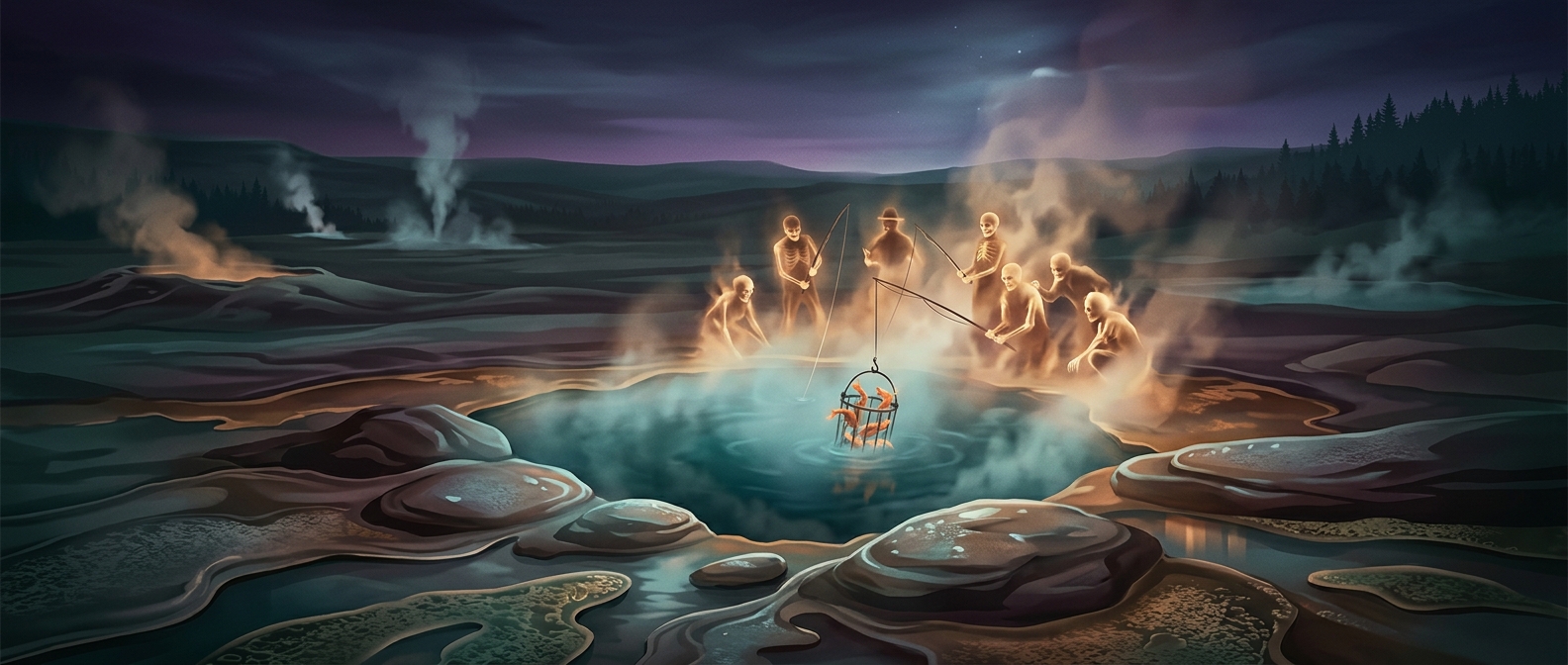
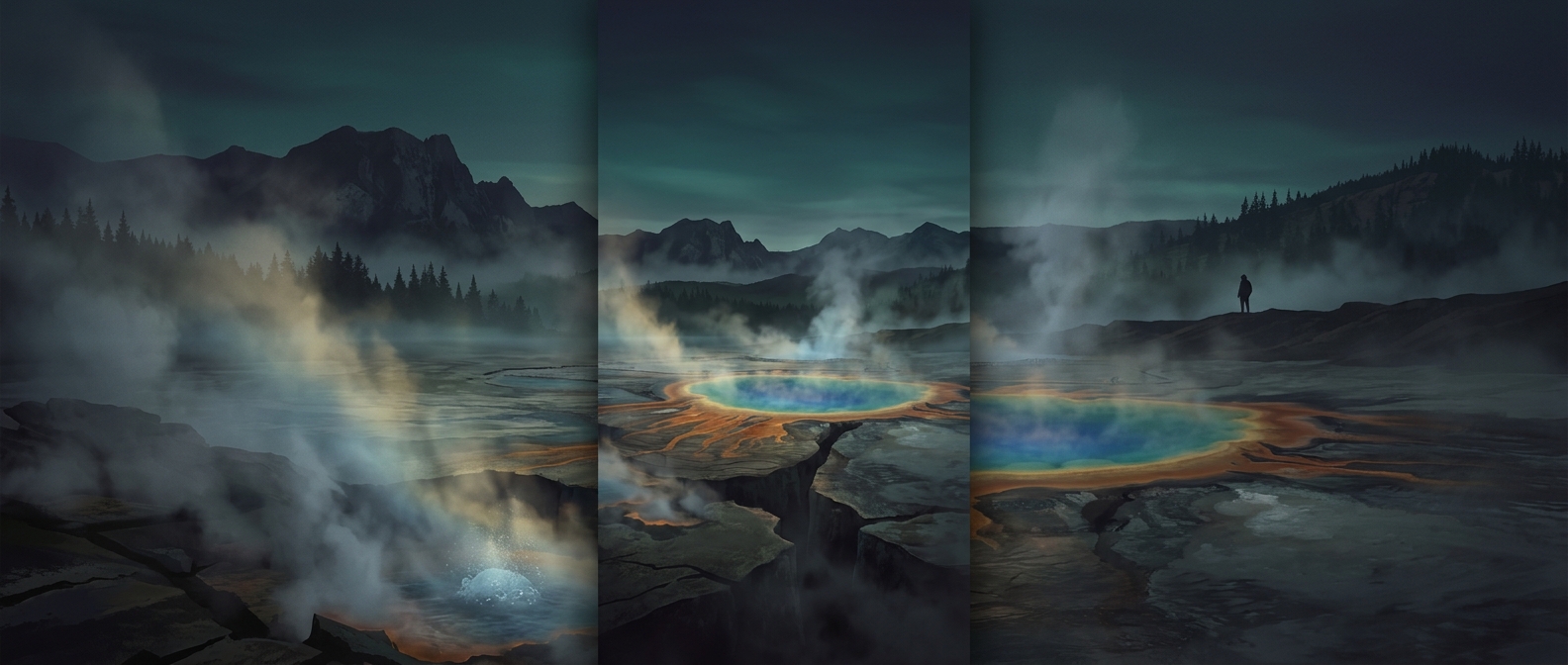
Yellowstone’s steaming pools and erupting geysers are surface signs of a powerful underground heat source. Rain and snowmelt seep into cracks in the rock, warm below ground, and rise again. Where water is trapped and pressure builds, it can burst out as a geyser; where it reaches the surface more steadily, it may form a hot spring. Mud pots develop where acidic, hot water breaks down surrounding rock into a bubbling slurry.
That activity made much of the region difficult to use for the industries that commonly drove settlement and land development. The same features that frustrated farming or extraction, however, made the area unusually compelling to scientists and travelers.
From surveyed territory to public park
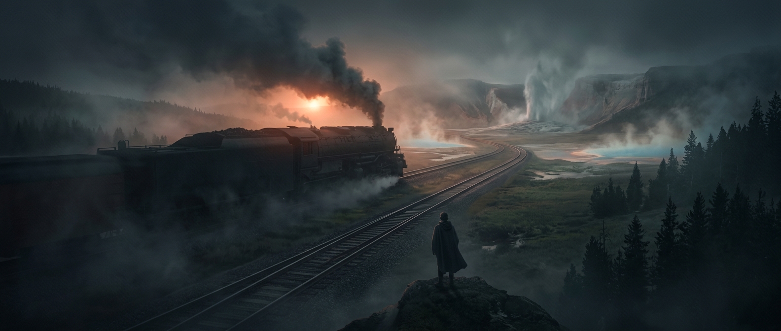
The 1871 geological survey helped turn Yellowstone from a remote landscape into a place Congress could consider protecting. Surveyors documented its terrain and geothermal features, giving lawmakers a clearer picture of what the region contained. In 1872, Congress established Yellowstone as a national park, reserving the land from ordinary settlement and private development.
The decision changed the measure of the land’s value. Yellowstone did not need to produce crops or minerals to justify protection: its unusual geology and scenery were the reason to preserve it. That choice also created a new kind of destination, where visitors could encounter an active geothermal landscape rather than see it converted to more familiar uses.
The tradeoff that made Yellowstone distinctive
Yellowstone’s terrain was not literally useless. It supported wildlife and had value beyond the industries named in the caption. But its most dramatic features resisted conventional development—and, once protected, became the park’s defining attraction. A place where the ground itself can boil became valuable precisely because it was left largely intact.