A map small enough for a cassette
The 1985 Etak Navigator faced a basic problem: a useful road map contains far more information than a car’s early computer could conveniently store. Its solution was to record vector maps—roads represented as lines and coordinates—rather than storing a picture of every map page. That kept the data relatively compact and let the system draw the roads on its screen.
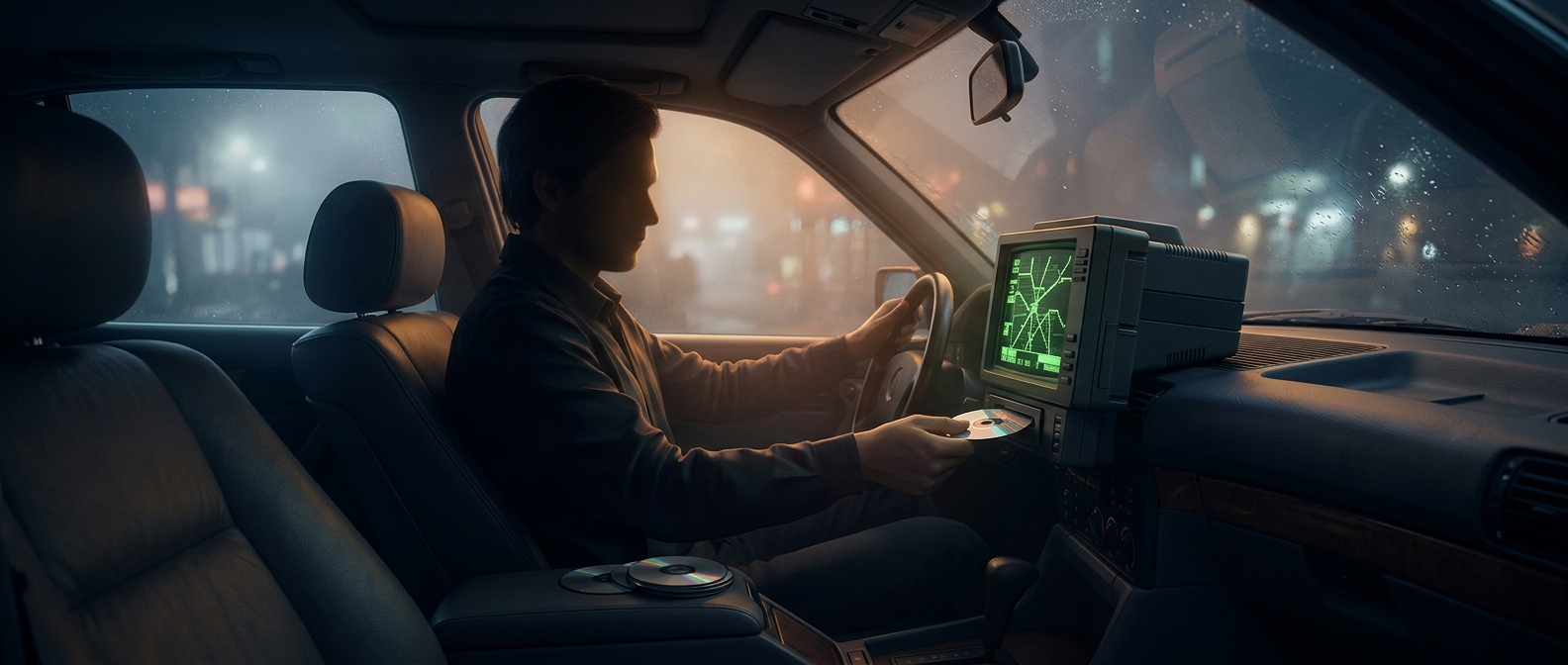
The maps lived on ordinary cassette tapes. A tape was inexpensive and familiar technology, but it could hold only so much data, and finding information meant moving along the tape rather than instantly opening any location. The map was therefore divided by area. Drive beyond the region on the tape, and you had to load another one.
Finding the car without satellites
Despite the modern-sounding “car GPS” label, the Navigator did not rely on satellite positioning. GPS was not yet a practical consumer navigation service. Instead, the system estimated the car’s movement using sensors, including a compass and equipment that tracked wheel rotation, then compared that estimate with the stored road map. This method is called dead reckoning: it calculates where you are by measuring how far and in what direction you have traveled.
That approach made a moving map possible before satellite navigation was ready for everyday drivers, but it had a physical limit: the computer could know only the roads represented in its loaded data. A driver crossing town could encounter a decidedly analog prompt—stop navigating long enough to swap the map tape. The car could calculate a position, but its world still came in cartridges of geography.