A closer look
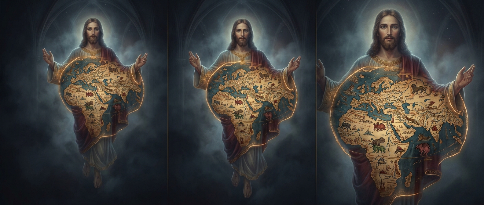
Medieval cartographers weren't exactly concerned with GPS accuracy, but the 13th-century Ebstorf Map took creative liberty to an unhinged theological extreme. Instead of drawing a standard map, they physically mapped the known world onto the body of Christ. Jesus’s head sits at the top (East), his hands stretch to the north and south, and Jerusalem is pinned directly on his navel, making it the most anatomically confusing road trip guide in history.