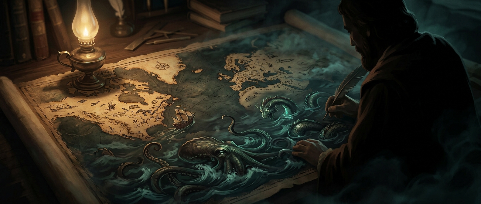
Why old maps were filled with sea monsters
If you did not know what was in a particular ocean, you simply drew a giant octopus eating a ship. It was a fantastic way to hide total geographical ignorance.
Keep exploring facts in this topic.
History →If you did not know what was in a particular ocean, you simply drew a giant octopus eating a ship. It was a fantastic way to hide total geographical ignorance.
Keep exploring facts in this topic.
History →Keep discovering with Stacky. Interesting facts in an app that is always within reach.

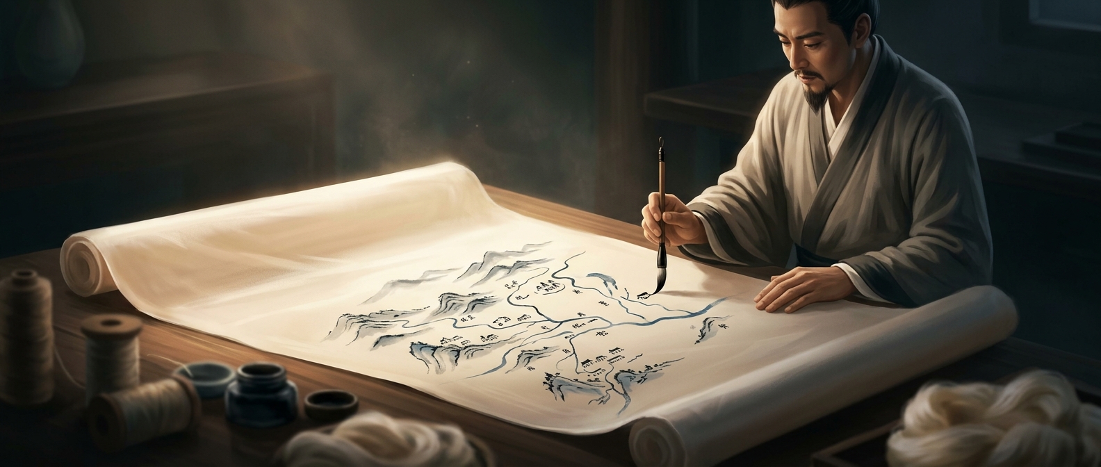
Recording incredibly detailed geographical boundaries usually involves delicate scrolls that completely disintegrate over time. Certain ancient mapmakers…
Discover more
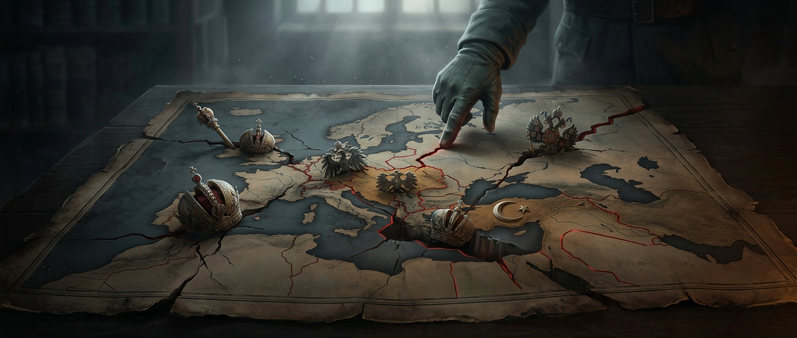
Maps can look quiet, but the ones redrawn after World War I thunder with endings. The earth-colored Austro-Hungarian Empire vanished like sand traced by…
Discover moreIn an era where a correct bearing could yield a fortune in nutmeg and cinnamon, cartography was basically an aggressive arms race. The Portuguese Casa da…
Discover more
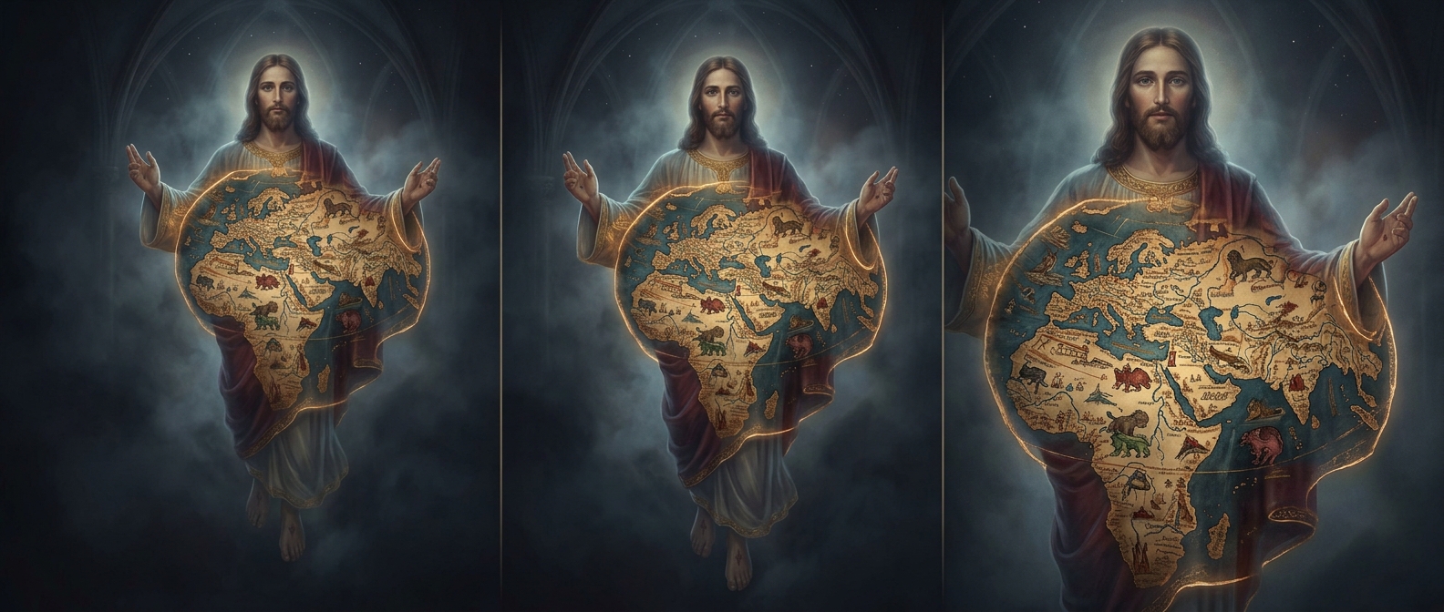
Medieval cartographers weren't exactly concerned with GPS accuracy, but the 13th-century Ebstorf Map took creative liberty to an unhinged theological extreme.…
Discover more
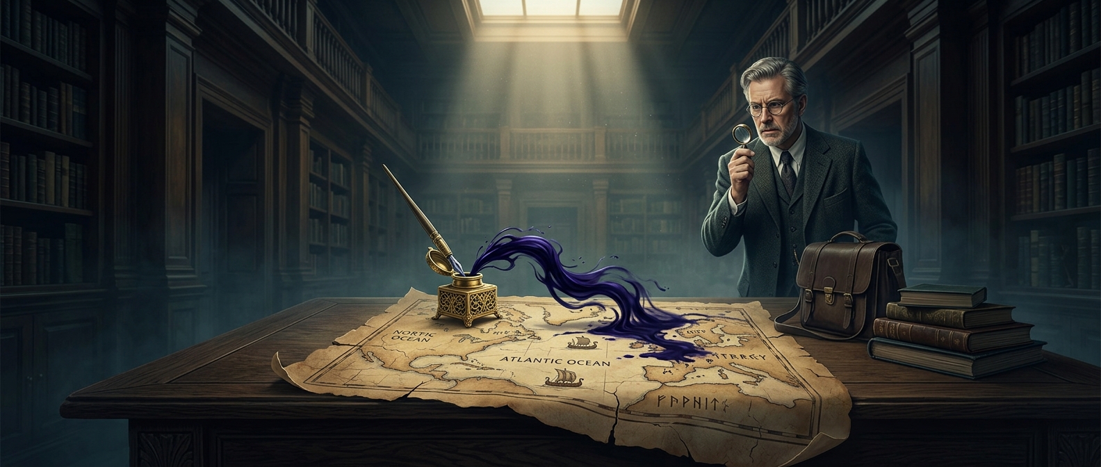
Getting scammed is bad, but getting scammed out of millions by a map drawn with modern house paint is a special kind of academic humiliation. In 1965, Yale…
Discover more
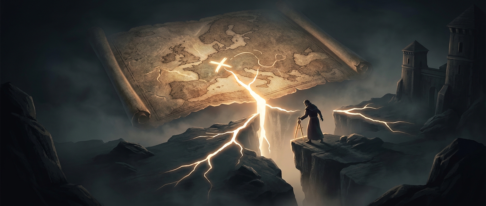
A simple smudge of ink changed the destiny of an entire region. During medieval border negotiations, mapmakers relying on wildly inaccurate topography…
Discover more